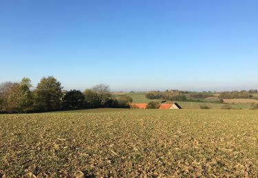
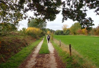
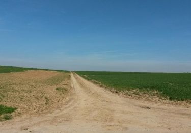
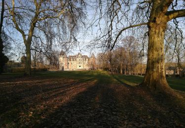
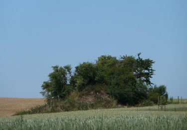
Randonnée Autre activité Jodoigne - promenade de la Gobertange - Photo

promenade de la Gobertange

 joelledreessen
joelledreessen

Utilisateur

© OpenStreetMap contributors
Longueur
Longueur
13,8 km
Altitude max
Altitude max
114 m
Dénivelé positif
Dénivelé positif
199 m
Km-Effort
Km-Effort  
16,5 km
Altitude min
Altitude min
54 m
Dénivelé négatif
Dénivelé négatif
199 m
Boucle
Boucle
Oui
Date de création :
2018-06-26 13:37:11.176
Dernière modification :
2019-06-08 14:27:17.269

(0 Avis)

Autre activité
Autre activité
1h40
Difficulté : Inconnu

Scannez ce code QR pour ouvrir la randonnée dans l'application SityTrail

Application GPS de randonnée GRATUITE

Logo SityTrail SityTrail

IGN / Instituts géographiques

Télécharger SityTrail sur l'App Store Télécharger SityTrail sur Google Play

Logo SityTrail SityTrail World

Le monde est à vous

Télécharger SityTrail sur l'App Store Télécharger SityTrail sur Google Play Télécharger SityTrail sur Huawei AppGallery

À propos

Randonnée Autre activité de 13,8 km à découvrir à Wallonie, Brabant wallon, Jodoigne. Cette randonnée est proposée par joelledreessen.

Description

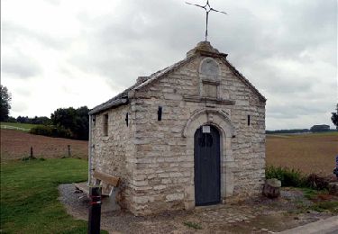
La balade vous mènera depuis le centre historique de Jodoigne sur la route de la tendre et lumineuse pierre de Gobertange. Découvrez le remarquable patrimoine architectural des « villages blancs » de Gobertange, Saint- Remy-Geest, ou encore Mélin, classé parmi les plus beaux villages de Wallonie... Bonne balade !

https://www.destinationbw.be/sites/default/files/Promenades/pieds/la_gobertange_-_fr.pdf

Profil altimétrique

Localisation

Pays :
Belgique
Région :
Wallonie
Département/Province :
Brabant wallon
Commune :
Jodoigne
Localité :
Jodoigne
Départ:(Dec)
Départ:(UTM)
631774 ; 5620938 (31U) N.

Randonnées à proximité

Randonnée Marche Jodoigne - RB-Bw-03 - Jodoigne - Via raccourci - Photo
Marche
PRO

Marche

Facile
(5)
Jodoigne, Wallonie, Brabant wallon, Belgique
12,9 km | 15,2 km-effort
4h 1min
Oui
Randonnée Marche Jodoigne - RB-Bw-03 - Jodoigne - Photo
Marche
PRO

Marche

Facile
(6)
Jodoigne, Wallonie, Brabant wallon, Belgique
20 km | 24 km-effort
5h 17min
Oui
Randonnée Marche Jodoigne - SityTrail - boucle Jodoigne 26km - Photo
Marche
GUIDE
Charles Lemaire

Marche

Très difficile
(1)
Jodoigne, Wallonie, Brabant wallon, Belgique
26 km | 31 km-effort
6h 57min
Oui
Randonnée A pied Jodoigne - #230424 - Dongelberg, Souveraine et Tienne Stricheaux**** - Photo
A pied
Randos Ouvertes

A pied

Facile
(1)
Jodoigne, Wallonie, Brabant wallon, Belgique
8,1 km | 9,3 km-effort
2h 6min
Oui
Randonnée Marche Jodoigne - 221114 - Jodoigne > Ste-Marie-Geest, dont 3 km sur GRP 127**** - Photo
Marche
Randos Ouvertes

Marche

Moyen
(2)
Jodoigne, Wallonie, Brabant wallon, Belgique
5,8 km | 6,8 km-effort
1h 32min
Oui
Randonnée Marche Orp-Jauche - #201026 - Entre Énines, Jauche et Folx-les-Caves - Photo
Marche
Randos Ouvertes

Marche

Moyen
(2)
Orp-Jauche, Wallonie, Brabant wallon, Belgique
8,2 km | 9,6 km-effort
2h 5min
Oui
Randonnée Marche Incourt - Ballade au soleil - Photo
Marche
vandelanph

Marche

Facile
(1)
Incourt, Wallonie, Brabant wallon, Belgique
18,9 km | 21 km-effort
3h 41min
Oui
Randonnée A pied Jodoigne - Promenade de la Ramée - Photo
A pied
GUIDE+

A pied

Facile
Jodoigne, Wallonie, Brabant wallon, Belgique
10,6 km | 12,4 km-effort
2h 49min
Oui
Randonnée A pied Jodoigne - Promenade de la chapelle d'Herbais - Photo
A pied
GUIDE+

A pied

Facile
Jodoigne, Wallonie, Brabant wallon, Belgique
8,5 km | 9,6 km-effort
2h 10min
Oui


Fermer
Mes abonnements