


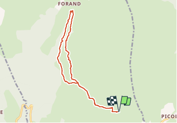

8,6 km | 12 km-effort

Utilisateur


Application GPS de randonnée GRATUITE
 SityTrail
IGN / Instituts géographiques
SityTrail World
Le monde est à vous
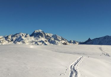
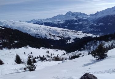
Randonnée Marche de 8,4 km à découvrir à Auvergne-Rhône-Alpes, Savoie, La Plagne-Tarentaise. Cette randonnée est proposée par jpduc.
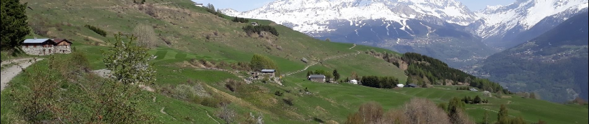
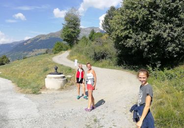
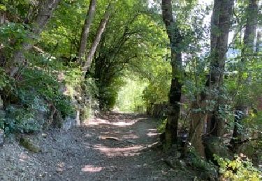
au départ de Valezan, Balade facile vers Les Fours et le long du Canal des Chapelles.
Panorama admirable et très ouvert sur les montagnes dont le Mt Pourri, Dôme de Platières, L'Aliet, Bellecôte....


Marche
Marche

Marche
Marche
Ski de randonnée
Ski de randonnée

Ski de randonnée
Marche

Raquettes à neige
Super rando ! Merci !
Très belle randonnée facile à faire en famille.