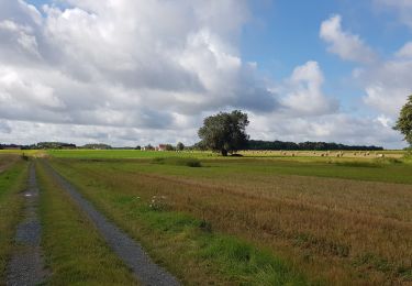
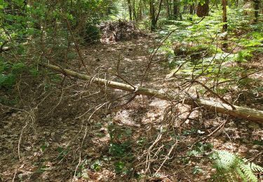
15,7 km | 18,9 km-effort
st romain sur cher
mimilolo
Utilisateur
Longueur
15,2 km
Altitude max
116 m
Dénivelé positif
166 m
Km-Effort
17,4 km
Altitude min
70 m
Dénivelé négatif
166 m
Boucle
Oui
Date de création :
2019-03-31 15:51:09.401
Dernière modification :
2019-03-31 15:51:09.401
3h49
Difficulté : Inconnu
Application GPS de randonnée GRATUITE
À propos
Randonnée Marche de 15,2 km à découvrir à Centre-Val de Loire, Loir-et-Cher, Saint-Romain-sur-Cher. Cette randonnée est proposée par mimilolo.
Localisation
Pays :
France
Région :
Centre-Val de Loire
Département/Province :
Loir-et-Cher
Commune :
Saint-Romain-sur-Cher
Localité :
Unknown
Départ:(Dec)
Départ:(UTM)
378946 ; 5241870 (31T) N.
Commentaires
Randonnées à proximité
Mareuil-sur-Cher - les Sables GR41 et PR - 15.7km 240m 4h00 - 2022 04 22
Marche
Facile
Mareuil-sur-Cher,
Centre-Val de Loire,
Loir-et-Cher,
France
4h 0min
Oui
Étangs 2
Marche
Moyen
Thésée,
Centre-Val de Loire,
Loir-et-Cher,
France
7,6 km | 8,5 km-effort
2h 7min
Oui
Mehers 8 août 2021
A pied
Facile
Méhers,
Centre-Val de Loire,
Loir-et-Cher,
France
10,9 km | 11,7 km-effort
2h 39min
Oui
Noyers-sur-Cher - 21.2km 215m 4h25 - 2015 10 25
Marche
Facile
Noyers-sur-Cher,
Centre-Val de Loire,
Loir-et-Cher,
France
21 km | 24 km-effort
4h 25min
Oui
Couddes 1
Marche
Moyen
Choussy,
Centre-Val de Loire,
Loir-et-Cher,
France
6,7 km | 7,5 km-effort
49min
Non
noyers sur cher GS 2021 2
A pied
Très facile
Noyers-sur-Cher,
Centre-Val de Loire,
Loir-et-Cher,
France
14,1 km | 16,1 km-effort
2h 45min
Oui
noyers sur cher GS 2021 petit
A pied
Facile
Noyers-sur-Cher,
Centre-Val de Loire,
Loir-et-Cher,
France
11,1 km | 13 km-effort
2h 57min
Oui
st romain GS 02/11/2021 petit
Marche
Difficile
Saint-Romain-sur-Cher,
Centre-Val de Loire,
Loir-et-Cher,
France
13,4 km | 15,2 km-effort
3h 27min
Oui
noyers 2019
Marche
Très facile
Noyers-sur-Cher,
Centre-Val de Loire,
Loir-et-Cher,
France
13,5 km | 15,4 km-effort
2h 32min
Oui