


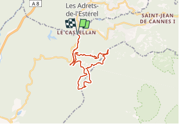


17,7 km | 25 km-effort

Utilisateur


Application GPS de randonnée GRATUITE
 SityTrail
IGN / Instituts géographiques
SityTrail World
Le monde est à vous
Randonnée Marche de 15,4 km à découvrir à Provence-Alpes-Côte d'Azur, Var, Fréjus. Cette randonnée est proposée par SabetMick.
Rando très sympathique dans le massif des Adrêts de l'Esterel. De très jolis points de vue sur le massif et le littoral. Vue à 360° depuis le sommet du mont Vinaigre. Très joli sentier autour des Malavalettes pour finir. Attention à bien suivre les cairnes...


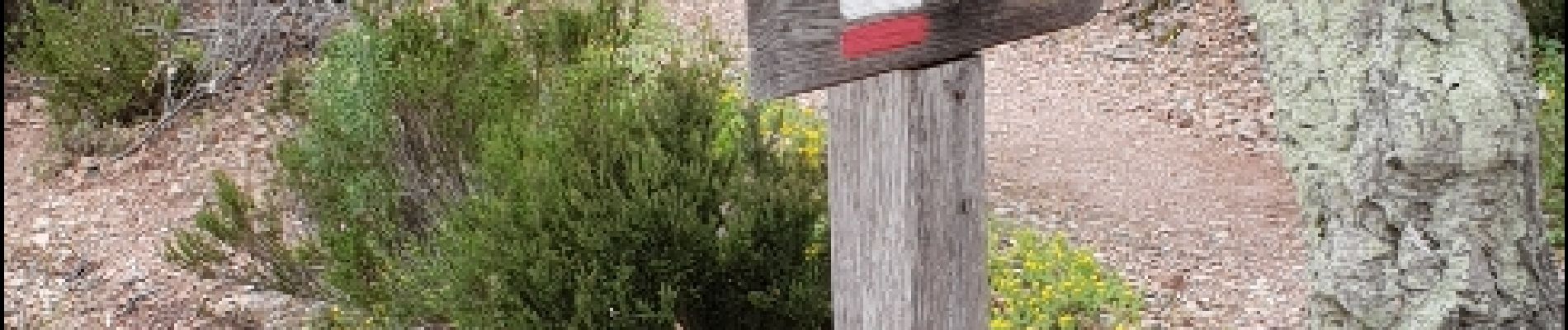
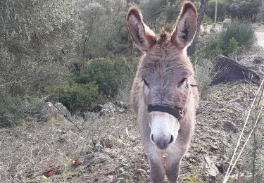
22 photos au total. Cliquez sur une photo pour les afficher toutes dans la galerie.

Marche

Marche

Marche

Marche

Marche

Marche

Marche

Marche
Marche
impeccable