


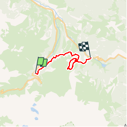


10,2 km | 20 km-effort

convivialite, sport et fiesta


Application GPS de randonnée GRATUITE
 SityTrail
IGN / Instituts géographiques
SityTrail World
Le monde est à vous
Randonnée Marche de 15 km à découvrir à Occitanie, Hautes-Pyrénées, Campan. Cette randonnée est proposée par Lous Passa camins.
une petite rallonge vers l courtaou des Esclozes s'imposait, pour parfaire le dénivelé. mais une jolie ballade a faire en famille.
 - Photo 1")
 - Photo 2")
 - Photo 3")
 - Photo 4")
 - Photo 5")

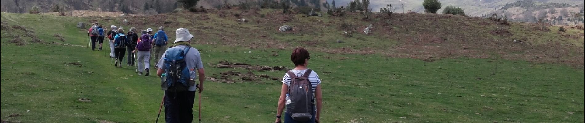
Marche

Marche

Marche

A pied

Marche
Marche
Marche

Marche

Marche