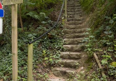
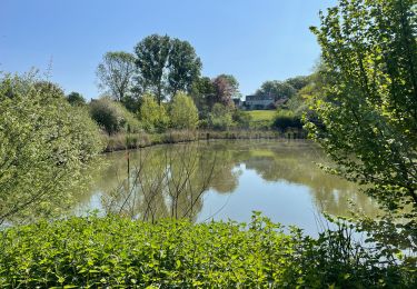
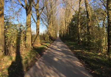
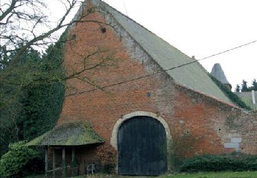
Randonnée Marche Wavre - CESE Wavre Resto - Photo
 cla_mayet
cla_mayet

Utilisateur

© OpenStreetMap contributors
Longueur
Longueur
7,3 km
Altitude max
Altitude max
103 m
Dénivelé positif
Dénivelé positif
107 m
Km-Effort
Km-Effort  
8,7 km
Altitude min
Altitude min
40 m
Dénivelé négatif
Dénivelé négatif
111 m
Boucle
Boucle
Oui
Date de création :
2014-12-10 00:00:00.0
Dernière modification :
2014-12-10 00:00:00.0

(0 Avis)

Marche
Marche
1h30
Difficulté : Facile

Scannez ce code QR pour ouvrir la randonnée dans l'application SityTrail

Application GPS de randonnée GRATUITE

Logo SityTrail SityTrail

IGN / Instituts géographiques

Télécharger SityTrail sur l'App Store Télécharger SityTrail sur Google Play

Logo SityTrail SityTrail World

Le monde est à vous

Télécharger SityTrail sur l'App Store Télécharger SityTrail sur Google Play Télécharger SityTrail sur Huawei AppGallery

À propos

Randonnée Marche de 7,3 km à découvrir à Wallonie, Brabant wallon, Wavre. Cette randonnée est proposée par cla_mayet.

Description

RDV L'Incontro http://www.lincontro.be/accueil.asp
Boucle rurale de Wavre   possibilité déjeuner après la marche.

Profil altimétrique

Photos

Points d'intérêt

Point d'intérêt Wavre - Restaurant Incontro  - Photo
cla_mayet
Point d'intérêt Wavre - Eglise St Jean Baptiste - Photo
cla_mayet
Point d'intérêt Wavre - Hotel de Ville - Photo
cla_mayet

Localisation

Pays :
Belgique
Région :
Wallonie
Département/Province :
Brabant wallon
Commune :
Wavre
Localité :
Wavre
Départ:(Dec)
Départ:(UTM)
613602 ; 5619680 (31U) N.

Randonnées à proximité

Randonnée Marche Grez-Doiceau - RL-GG-01_Archennes_Wavre - Photo
Marche
PRO

Marche

Très difficile
(7)
Grez-Doiceau, Wallonie, Brabant wallon, Belgique
23 km | 28 km-effort
5h 59min
Non
Randonnée Marche Chaumont-Gistoux - De Dion-le Mont à Dion-le Val par la vallée du Pisselet - Photo
Marche
GUIDE
Desrumaux

Marche

Très facile
(8)
Chaumont-Gistoux, Wallonie, Brabant wallon, Belgique
8,6 km | 10,3 km-effort
2h 0min
Oui
Randonnée Marche Ottignies-Louvain-la-Neuve - Lauzelle - Circuit Natura 2000, des sites qui valent le détour ! - Bw01 - Photo
Marche
GUIDE+

Marche

Facile
(2)
Ottignies-Louvain-la-Neuve, Wallonie, Brabant wallon, Belgique
3,8 km | 4,8 km-effort
1h 26min
Oui
Randonnée Marche Wavre - RB-Bw-07 - Basse-Wavre - Via variantes 1 et 2 - Photo
Marche
PRO

Marche

Moyen
(4)
Wavre, Wallonie, Brabant wallon, Belgique
27 km | 34 km-effort
7h 5min
Oui
Randonnée Marche Grez-Doiceau - #221104 - Florival > Pécrot, GRP127 - Photo
Marche
Randos Ouvertes

Marche

Moyen
(2)
Grez-Doiceau, Wallonie, Brabant wallon, Belgique
7 km | 8,4 km-effort
1h 55min
Oui
Randonnée Marche Chaumont-Gistoux - #210507 - Dion-le-Mont, La Commone, Bois de Vieusart et le Bonly**** - Photo
Marche
Randos Ouvertes

Marche

Moyen
(1)
Chaumont-Gistoux, Wallonie, Brabant wallon, Belgique
6,5 km | 7,9 km-effort
2h 12min
Oui
Randonnée Marche Grez-Doiceau - #210224 - Rés. nat. Florival, étang de Pécrot, Sept Bonniers*** - Photo
Marche
Randos Ouvertes

Marche

Moyen
(3)
Grez-Doiceau, Wallonie, Brabant wallon, Belgique
7,1 km | 8,4 km-effort
1h 54min
Oui
Randonnée Marche Grez-Doiceau - RB - BW - 6 Gastuche Precrot - Photo
Marche
jregin

Marche

Facile
(2)
Grez-Doiceau, Wallonie, Brabant wallon, Belgique
14,5 km | 17,2 km-effort
2h 58min
Oui
Randonnée Marche Wavre - #201030 - Wavre, Bois de Beumont, Golf de la Bawette, Parc des Saules et Orangerie - Photo
Marche
Randos Ouvertes

Marche

Moyen
(2)
Wavre, Wallonie, Brabant wallon, Belgique
7,7 km | 9,4 km-effort
1h 57min
Oui


Fermer
Mes abonnements