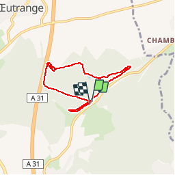

25 km | 28 km-effort


Utilisateur


Application GPS de randonnée GRATUITE
 SityTrail
IGN / Instituts géographiques
SityTrail World
Le monde est à vous
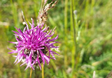
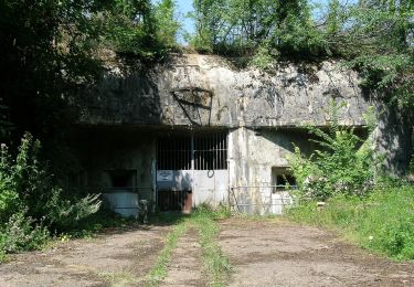
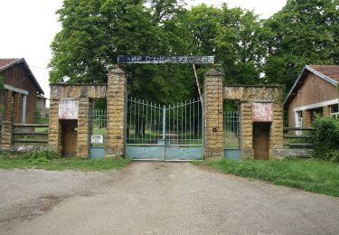
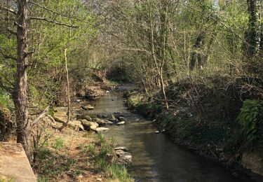
Randonnée Marche nordique de 6 km à découvrir à Grand Est, Moselle, Thionville. Cette randonnée est proposée par targoff.
Marche Nordique dans le cadre d'un club incluant 30 minutes, échauffement, exercices, étirements) ainsi que des boucles permettant de rattraper les moins rapides

Vélo
Marche

Marche
Marche
A pied
A pied
A pied
A pied