![](/images/other/stat-length.png)
en forêt de Compiègne_12_le Grand Octogone
en forêt de Compiègne
mes randos en forêt
![Longueur](/images/other/stat-length.png)
![Altitude max](https://static1.geolcdn.com/siteimages/upload/files/1508320355ic_sort_altitude_max_24dp.png)
![Dénivelé positif](https://static1.geolcdn.com/siteimages/upload/files/1508320355ic_sort_den_pos_24dp.png)
![Km-Effort](/images/other/stat-length.png)
![Altitude min](https://static1.geolcdn.com/siteimages/upload/files/1508320355ic_sort_altitude_min_24dp.png)
![Dénivelé négatif](https://static1.geolcdn.com/siteimages/upload/files/1508320355ic_sort_den_neg_24dp.png)
![Boucle](https://static1.geolcdn.com/siteimages/upload/files/16400158638029165_repeat_loop_refresh_sync_direction_icon.png)
![Marche](https://static1.geolcdn.com/sitytour/trail-icons/101.png)
7h11
Difficulté : Moyen
![Scannez ce code QR pour ouvrir la randonnée dans l'application SityTrail](https://capi.geolives.com/qq0zvz2zws4bq2lad0pu/sitytour/trails/939105/qr.png?size=200)
Application GPS de randonnée GRATUITE
À propos
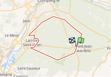
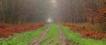
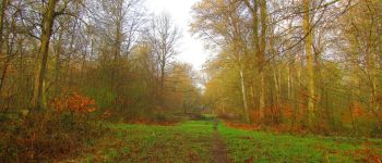
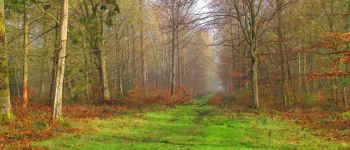
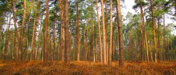
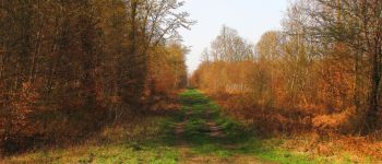
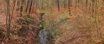
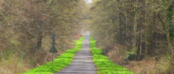
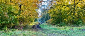
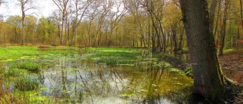
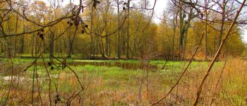
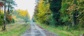
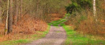
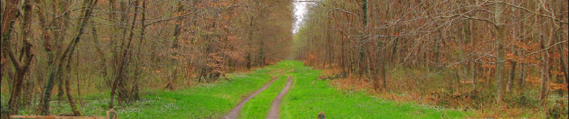
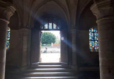
Randonnée Marche de 27 km à découvrir à Hauts-de-France, Oise, Saint-Jean-aux-Bois. Cette randonnée est proposée par en forêt de Compiègne.
Description
04/ 2018
voir aussi:
batterie de recharge pour iphone indispensable.
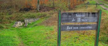
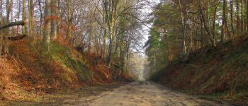
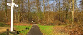
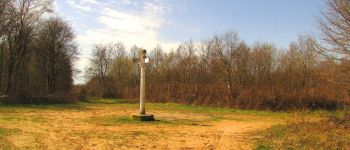
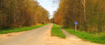
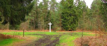
Au départ d'un carrefour sans nom sur la D85, avant d'entrer dans Malassise en venant de Saint-Jean-aux-Bois.
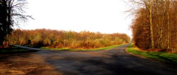
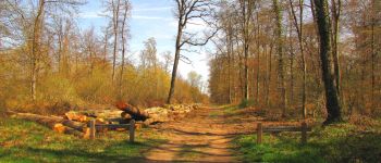
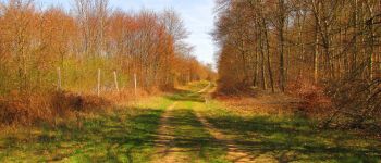
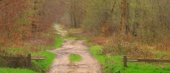
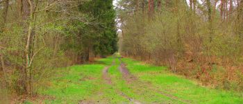
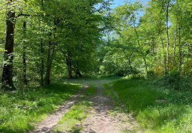
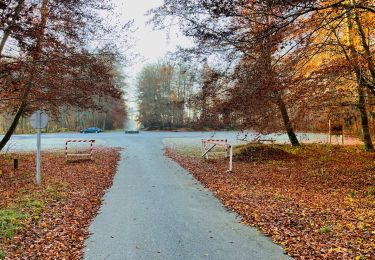
J'ai fait le grand Octogone dans le sens des aiguilles d'une montre avec un contournement de Lacroix Saint-Ouen pour atteindre le somment de l'Octogone le plus à l'Ouest (carrefour du Carnois).
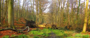
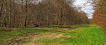
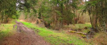
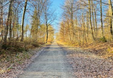
Pas de difficultés particulières sauf sur les premiers km (boue dans la route de l'Octogone).
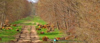
3 décharges sauvages identifiées: comme d'habitude, photos géolocalisées envoyées à l'unité territoriale de l'ONF pour la forêt de Retz et la forêt de Compiègne.
voir article blog ("les nouveaux brigands de Retz").
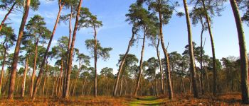
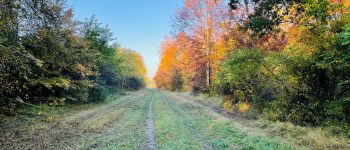
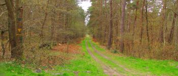
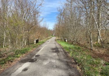
Eviter de faire cette rando l'été. Par endroit des côtés de l'Octogone sont très ensoleillés.
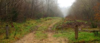
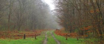
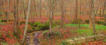
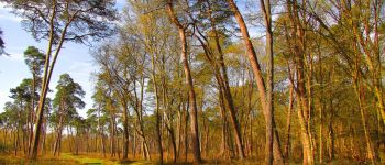
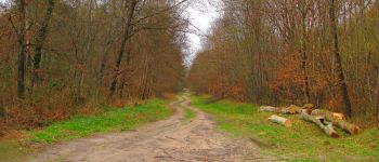
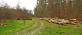
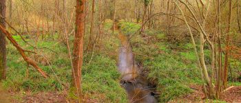
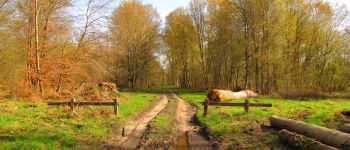
Points d'intérêt
Localisation
Commentaires
Randonnées à proximité
![Randonnée A pied Saint-Jean-aux-Bois - Promenade du Chêne de Saint-Jean - Photo](https://media.geolcdn.com/t/375/260/660f8de9-0f4a-4545-bfd3-d9c82cefa146.jpeg&format=jpg&maxdim=2)
![A pied A pied](https://static1.geolcdn.com/sitytour/trail-icons/100.png)
A pied
![](/images/other/stat-length.png)
![](https://static1.geolcdn.com/siteimages/upload/files/16400158638029165_repeat_loop_refresh_sync_direction_icon.png)
![Randonnée Marche Saint-Jean-aux-Bois - SAINT JEAN AUX BOIS, le village et les bois - Photo](https://media.geolcdn.com/t/375/260/cbd4d574-4b06-4403-8920-57abc85ecbc5.jpg&format=jpg&maxdim=2)
![Marche Marche](https://static1.geolcdn.com/sitytour/trail-icons/101.png)
Marche
![](/images/other/stat-length.png)
![](https://static1.geolcdn.com/siteimages/upload/files/16400158638029165_repeat_loop_refresh_sync_direction_icon.png)
![Randonnée Marche Vieux-Moulin - Rando douce Vieux moulin 14/8/2022 - Photo](https://media.geolcdn.com/t/375/260/ext.jpg?maxdim=2&url=https%3A%2F%2Fstatic1.geolcdn.com%2Fsiteimages%2Fupload%2Ffiles%2F1553511878bg_sport_marche.png)
![Marche Marche](https://static1.geolcdn.com/sitytour/trail-icons/101.png)
Marche
![](/images/other/stat-length.png)
![](https://static1.geolcdn.com/siteimages/upload/files/16400158638029165_repeat_loop_refresh_sync_direction_icon.png)
![Randonnée Marche Compiègne - en Forêt de Compiègne_50_les Routes des Beaux Monts, de Morpigny et des Nymphes - Photo](https://media.geolcdn.com/t/375/260/9c55d9c0-6825-4d4d-9591-f5323b93b433.jpg&format=jpg&maxdim=2)
![Marche Marche](https://static1.geolcdn.com/sitytour/trail-icons/101.png)
Marche
![](/images/other/stat-length.png)
![](https://static1.geolcdn.com/siteimages/upload/files/16400158638029165_repeat_loop_refresh_sync_direction_icon.png)
![Randonnée Marche Compiègne - en forêt de Compiègne_48_sur les Routes de la Mariolle et du Grand Veneur - Photo](https://media.geolcdn.com/t/375/260/7316114b-cb1c-453b-b79a-8461b3c901b1.jpg&format=jpg&maxdim=2)
![Marche Marche](https://static1.geolcdn.com/sitytour/trail-icons/101.png)
Marche
![](/images/other/stat-length.png)
![](https://static1.geolcdn.com/siteimages/upload/files/16400158638029165_repeat_loop_refresh_sync_direction_icon.png)
![Randonnée Marche Saint-Jean-aux-Bois - Saint Jean au Bois 13,4 km - Photo](https://media.geolcdn.com/t/375/260/ddfb4125-3dc9-462c-8144-537eda5ffbb6.jpg&format=jpg&maxdim=2)
![Marche Marche](https://static1.geolcdn.com/sitytour/trail-icons/101.png)
Marche
![](/images/other/stat-length.png)
![](https://static1.geolcdn.com/siteimages/upload/files/16400158638029165_repeat_loop_refresh_sync_direction_icon.png)
![Marche Marche](https://static1.geolcdn.com/sitytour/trail-icons/101.png)
Marche
![](/images/other/stat-length.png)
![](https://static1.geolcdn.com/siteimages/upload/files/16400158638029165_repeat_loop_refresh_sync_direction_icon.png)
![Marche Marche](https://static1.geolcdn.com/sitytour/trail-icons/101.png)
Marche
![](/images/other/stat-length.png)
![](https://static1.geolcdn.com/siteimages/upload/files/16400158638029165_repeat_loop_refresh_sync_direction_icon.png)
![Randonnée Marche Compiègne - en forêt de Compiègne_43_le Petit Octogone et vers la Faisanderie - Photo](https://media.geolcdn.com/t/375/260/ext.jpg?maxdim=2&url=https%3A%2F%2Fservices.sitytrail.com%2FGeolivesWS%2FDownloadMedia.ashx%3FTrailID%3D945309%26Media%3D61959efe-9c26-48c8-8509-5376406dc1f6.JPG)
![Marche Marche](https://static1.geolcdn.com/sitytour/trail-icons/101.png)
Marche
![](/images/other/stat-length.png)
![](https://static1.geolcdn.com/siteimages/upload/files/16400158638029165_repeat_loop_refresh_sync_direction_icon.png)