


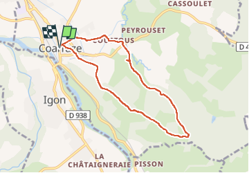

10,8 km | 13,8 km-effort


Utilisateur GUIDE


Application GPS de randonnée GRATUITE
 SityTrail
IGN / Instituts géographiques
SityTrail World
Le monde est à vous
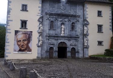
Randonnée Marche de 7,8 km à découvrir à Nouvelle-Aquitaine, Pyrénées-Atlantiques, Coarraze. Cette randonnée est proposée par marmotte65.
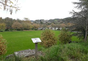
Jolie balade avec de beau points de vue sur les Pyrénées par temps clair mais un peu trop de goudron à mon gout

Marche

V.T.T.

Marche
Marche
Marche
Marche
Marche

Marche
Marche