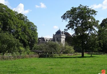
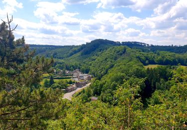
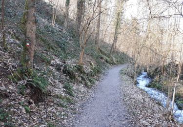
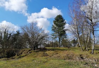
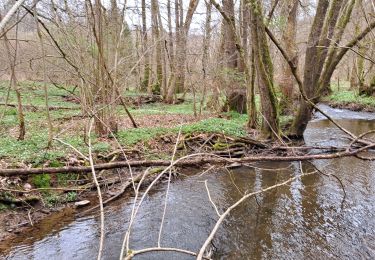
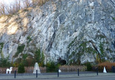
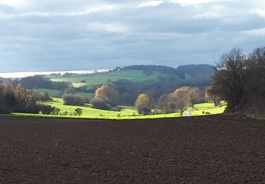
Randonnée Marche Durbuy - PONT LE PRETRE - Photo
 fputters
fputters

Utilisateur

© OpenStreetMap contributors
Longueur
Longueur
6,1 km
Altitude max
Altitude max
331 m
Dénivelé positif
Dénivelé positif
167 m
Km-Effort
Km-Effort  
8,4 km
Altitude min
Altitude min
212 m
Dénivelé négatif
Dénivelé négatif
167 m
Boucle
Boucle
Oui
Date de création :
2018-04-17 23:38:05.38
Dernière modification :
2018-04-17 23:38:05.38

(0 Avis)

Marche
Marche
1h49
Difficulté : Inconnu

Scannez ce code QR pour ouvrir la randonnée dans l'application SityTrail

Application GPS de randonnée GRATUITE

Logo SityTrail SityTrail

IGN / Instituts géographiques

Télécharger SityTrail sur l'App Store Télécharger SityTrail sur Google Play

Logo SityTrail SityTrail World

Le monde est à vous

Télécharger SityTrail sur l'App Store Télécharger SityTrail sur Google Play Télécharger SityTrail sur Huawei AppGallery

À propos

Randonnée Marche de 6,1 km à découvrir à Wallonie, Luxembourg, Durbuy. Cette randonnée est proposée par fputters.

Description

N° 16 carte DURBUY etc ... renseignée à 8,2 km ???

Profil altimétrique

Localisation

Pays :
Belgique
Région :
Wallonie
Département/Province :
Luxembourg
Commune :
Durbuy
Localité :
Izier
Départ:(Dec)
Départ:(UTM)
683677 ; 5584251 (31U) N.

Randonnées à proximité

Randonnée Marche Hamoir - RB-Lg-19_Hamoir - Photo
Marche
PRO

Marche

Très difficile
(6)
Hamoir, Wallonie, Liège, Belgique
22 km | 28 km-effort
6h 18min
Oui
Randonnée Marche Ferrières - Rouge-Minière. Natura 2000, des sites qui valent le détour ! Lg 3 - Photo
Marche
GUIDE+

Marche

Facile
(17)
Ferrières, Wallonie, Liège, Belgique
6,8 km | 8,9 km-effort
Inconnu
Oui
Randonnée Marche Durbuy - Balade à Bomal sur Ourthe - Photo
Marche
GUIDE
Desrumaux

Marche

Facile
(4)
Durbuy, Wallonie, Luxembourg, Belgique
4,4 km | 5,9 km-effort
1h 20min
Oui
Randonnée Marche Manhay - BOIS DE HARRE (Commune_de_MANHAY) - Photo
Marche
GUIDE
mumu.larandonneuse

Marche

Moyen
(1)
Manhay, Wallonie, Luxembourg, Belgique
13,5 km | 18,9 km-effort
4h 17min
Oui
Randonnée Marche Hamoir - HAMOIR (Vallée du Neblon) - Photo
Marche
GUIDE
Michel1963

Marche

Moyen
(1)
Hamoir, Wallonie, Liège, Belgique
8,6 km | 11,4 km-effort
2h 28min
Oui
Randonnée Marche Ferrières - RL-GG-15_Sy_Barvaux - Photo
Marche
PRO

Marche

Très difficile
(1)
Ferrières, Wallonie, Liège, Belgique
18,9 km | 26 km-effort
5h 58min
Non
Randonnée Marche Ferrières - Marche ADEPS BURNONTIGE (Ferrieres) 10/04/33 - Photo
Marche
GUIDE
Michel1963

Marche

Moyen
(1)
Ferrières, Wallonie, Liège, Belgique
15,4 km | 20 km-effort
3h 2min
Oui
Randonnée Marche Durbuy - RL-GG-36_Bomal_Marloie - Photo
Marche
PRO

Marche

Moyen
(2)
Durbuy, Wallonie, Luxembourg, Belgique
43 km | 52 km-effort
11h 51min
Non
Randonnée Marche Hamoir - Hamoir - Sy - Les Crêtes  - Photo
Marche
GUIDE
Michel1963

Marche

Moyen
(1)
Hamoir, Wallonie, Liège, Belgique
13,1 km | 17,2 km-effort
3h 17min
Oui


Fermer
Mes abonnements