

Roquefort des Corbieres - Leucate

LucThomaere
Utilisateur

Longueur
29 km

Altitude max
116 m

Dénivelé positif
236 m

Km-Effort
32 km

Altitude min
-4 m

Dénivelé négatif
277 m
Boucle
Non
Date de création :
2018-04-17 23:30:28.269
Dernière modification :
2022-02-28 09:31:56.636
7h03
Difficulté : Moyen

Application GPS de randonnée GRATUITE
À propos
Randonnée Marche de 29 km à découvrir à Occitanie, Aude, Roquefort-des-Corbières. Cette randonnée est proposée par LucThomaere.
Description
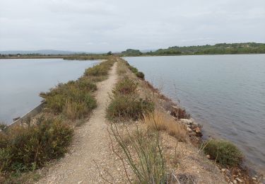
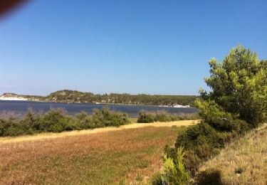
Zeer afwisselende tocht. Het eerste deel door een droog en eenzaam hoogplateau (een deel van Le Sentier des Cathares), daarna een lange strandwandeling, een vochtig natuurreservaat, een een schiereiland met wijngaarden.
Niet moeilijk van terrein maar van lengte wel stevig
Localisation
Pays :
France
Région :
Occitanie
Département/Province :
Aude
Commune :
Roquefort-des-Corbières
Localité :
Unknown
Départ:(Dec)
Départ:(UTM)
496554 ; 4760636 (31T) N.
Commentaires
Randonnées à proximité
Roquefort des Corbières Jean 17.04.22


Marche
Moyen
(1)
Roquefort-des-Corbières,
Occitanie,
Aude,
France

15,3 km | 22 km-effort
3h 46min
Oui

La palme 17_09_2020


Marche
Très facile
(2)
La Palme,
Occitanie,
Aude,
France

7,5 km | 8,9 km-effort
1h 51min
Oui

Boucle des Cabanes de Port Mahon Sigean


A pied
Moyen
(1)
Sigean,
Occitanie,
Aude,
France

12,4 km | 13,9 km-effort
3h 20min
Oui
Du camping Le Clapotis à La Palme et retour


Marche
Moyen
La Palme,
Occitanie,
Aude,
France

5,4 km | 6,2 km-effort
1h 24min
Oui
la palme la jasse


Marche
Difficile
La Palme,
Occitanie,
Aude,
France

13,1 km | 15,2 km-effort
6h 25min
Oui
Les Salins de Sigean


Marche
Facile
Sigean,
Occitanie,
Aude,
France

15,6 km | 17,6 km-effort
4h 30min
Oui

Roquefort 161106


Marche
Très facile
(1)
Roquefort-des-Corbières,
Occitanie,
Aude,
France

20 km | 28 km-effort
7h 5min
Oui


 SityTrail


