


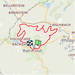


16,1 km | 22 km-effort

Utilisateur


Application GPS de randonnée GRATUITE
 SityTrail
IGN / Instituts géographiques
SityTrail World
Le monde est à vous
Randonnée Marche de 14,4 km à découvrir à Grand Est, Moselle, Baerenthal. Cette randonnée est proposée par VacheKiri67.
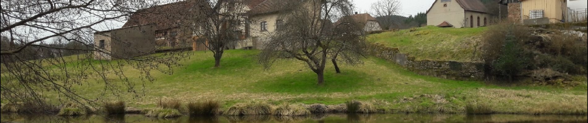
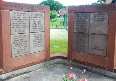
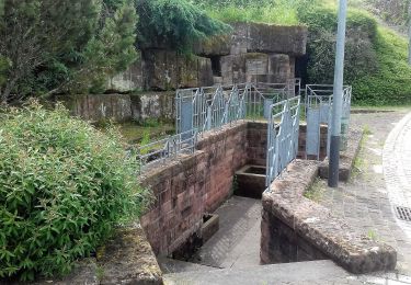
Faite le 30/03/2018 avec notre fils Théo de 13 ans et nos amis régionaux de l'étape Eléonore et Bernard.


22 photos au total. Cliquez sur une photo pour les afficher toutes dans la galerie.

Marche

Randonnée équestre
A pied
A pied

A pied

A pied
A pied

A pied

A pied