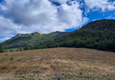
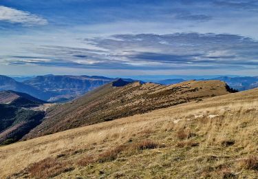
5,8 km | 10,9 km-effort
J1 pv Champdhabit-rocherroux 25k
azipat
Utilisateur
Longueur
26 km
Altitude max
1246 m
Dénivelé positif
1300 m
Km-Effort
43 km
Altitude min
524 m
Dénivelé négatif
1138 m
Boucle
Non
Date de création :
2018-04-17 23:12:42.813
Dernière modification :
2018-04-17 23:12:42.813
27m
Difficulté : Moyen
Application GPS de randonnée GRATUITE
À propos
Randonnée Autre activité de 26 km à découvrir à Auvergne-Rhône-Alpes, Drôme, Verclause. Cette randonnée est proposée par azipat.
Localisation
Pays :
France
Région :
Auvergne-Rhône-Alpes
Département/Province :
Drôme
Commune :
Verclause
Localité :
Unknown
Départ:(Dec)
Départ:(UTM)
693854 ; 4917718 (31T) N.
Commentaires
Randonnées à proximité
Crêtes du raton à partir du col de Pommerol
Marche nordique
Difficile
Rosans,
Provence-Alpes-Côte d'Azur,
Hautes-Alpes,
France
3h 14min
Oui
Le Fourchat
Marche
Difficile
Rosans,
Provence-Alpes-Côte d'Azur,
Hautes-Alpes,
France
12,1 km | 24 km-effort
5h 21min
Oui
Crête de Raton Via Raton
Marche
Très difficile
Rosans,
Provence-Alpes-Côte d'Azur,
Hautes-Alpes,
France
12,6 km | 23 km-effort
5h 13min
Oui
7km Fourchat AR par chemin du facteur (partie)
Marche
Difficile
Rosans,
Provence-Alpes-Côte d'Azur,
Hautes-Alpes,
France
6,8 km | 13,2 km-effort
3h 30min
Oui
Le Fourchat par le col de Pommerol
Marche
Moyen
Rosans,
Provence-Alpes-Côte d'Azur,
Hautes-Alpes,
France
2,6 km | 7,3 km-effort
57min
Non
Montagne de Raton au départ du col de Pommerol ou de la Fromagère
Marche
Moyen
(1)
Rosans,
Provence-Alpes-Côte d'Azur,
Hautes-Alpes,
France
6,8 km | 12,1 km-effort
7h 29min
Oui
POMMEROL - LA MONTAGNE DE RATON
Marche
Difficile
Rosans,
Provence-Alpes-Côte d'Azur,
Hautes-Alpes,
France
7,1 km | 12,4 km-effort
6h 49min
Oui
HA J2 long
V.T.T.
Très facile
(2)
Rosans,
Provence-Alpes-Côte d'Azur,
Hautes-Alpes,
France
48 km | 65 km-effort
4h 12min
Non
Col de La Fromagère - Le Fourchat
Marche
Difficile
Pommerol,
Auvergne-Rhône-Alpes,
Drôme,
France
4,5 km | 10,6 km-effort
2h 30min
Oui