11,2 km | 11,9 km-effort
Première Sortie Sandra et Laurent
Schaff
Utilisateur
Longueur
31 km
Altitude max
195 m
Dénivelé positif
149 m
Km-Effort
33 km
Altitude min
177 m
Dénivelé négatif
150 m
Boucle
Oui
Date de création :
2018-04-17 17:08:25.116
Dernière modification :
2018-04-17 17:08:25.116
1h58
Difficulté : Moyen
Application GPS de randonnée GRATUITE
À propos
Randonnée Vélo de 31 km à découvrir à Grand Est, Haut-Rhin, Colmar. Cette randonnée est proposée par Schaff.
Description
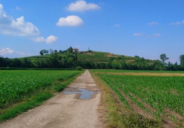
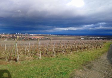
Balade dans le Ried 30km. Fort vent sur le retour. Attention également en terre et boueux.
Localisation
Pays :
France
Région :
Grand Est
Département/Province :
Haut-Rhin
Commune :
Colmar
Localité :
Unknown
Départ:(Dec)
Départ:(UTM)
378448 ; 5325096 (32U) N.
Commentaires
Randonnées à proximité
Covid-19 - A la recherche du cercle parfait
Course à pied
Très facile
(1)
Colmar,
Grand Est,
Haut-Rhin,
France
1h 0min
Oui
grand tour de Colmar
Marche
Très facile
(1)
Colmar,
Grand Est,
Haut-Rhin,
France
4,7 km | 5,1 km-effort
1h 22min
Oui
Colmar petite Venise
Marche
Colmar,
Grand Est,
Haut-Rhin,
France
9,3 km | 10,1 km-effort
3h 16min
Oui
TREK ALSACIEN (balade découverte de Colmar)
Marche
Très facile
Colmar,
Grand Est,
Haut-Rhin,
France
6,4 km | 7 km-effort
2h 50min
Oui
Sur un parcours d'une course d'orientation
Marche
Très facile
Colmar,
Grand Est,
Haut-Rhin,
France
4,6 km | 5 km-effort
51min
Non
Vélo randonnée Colmar Guebwiller
V.T.C.
Facile
Colmar,
Grand Est,
Haut-Rhin,
France
59 km | 64 km-effort
3h 29min
Oui
wettolsheim À travers vignes
Marche
Très facile
Wettolsheim,
Grand Est,
Haut-Rhin,
France
4,6 km | 6,2 km-effort
1h 3min
Oui
Colmar centre Enseignes
A pied
Facile
Colmar,
Grand Est,
Haut-Rhin,
France
4,8 km | 5,2 km-effort
Inconnu
Oui
Willer sur Thur - Grand Ballon- Willer sur Thur
Marche
Difficile
Colmar,
Grand Est,
Haut-Rhin,
France
51 km | 0 m-effort
5h 34min
Non