


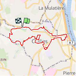

11,2 km | 12,9 km-effort


Utilisateur


Application GPS de randonnée GRATUITE
 SityTrail
IGN / Instituts géographiques
SityTrail World
Le monde est à vous
Randonnée Marche de 9,2 km à découvrir à Auvergne-Rhône-Alpes, Métropole de Lyon, Oullins. Cette randonnée est proposée par Delahalle.
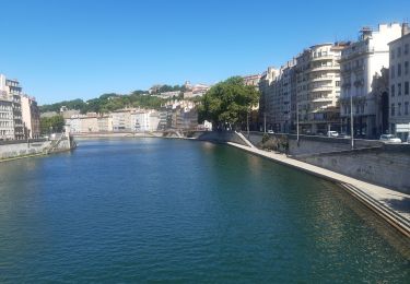
Parcours semi-urbain passant par les nombreux parcs et jardins d'Oullins. Ce parcours peut facilement être raccourci au besoin.
Départ et arrivée du parking Intermarché d'OUllins.

Marche
Marche

Marche
Marche
Marche
Marche
Marche
Marche
Marche