


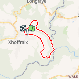


16,7 km | 22 km-effort

Utilisateur


Application GPS de randonnée GRATUITE
 SityTrail
IGN / Instituts géographiques
SityTrail World
Le monde est à vous
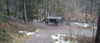
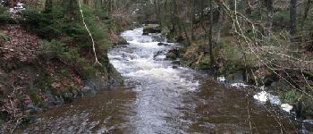
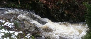
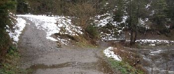
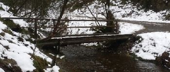
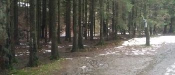
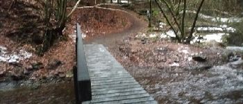
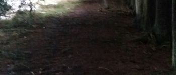
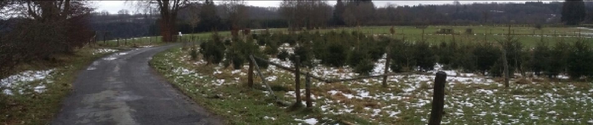
Randonnée Marche de 4,9 km à découvrir à Wallonie, Liège, Malmedy. Cette randonnée est proposée par MGAZON.
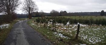
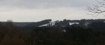
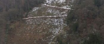
A short but amazing family ballad. The descent to the river is quite steep, but the rest is very easy and well laid out. Provide good shoes in rainy weather.


Marche

Marche


Marche

Marche

Marche
Marche
Marche