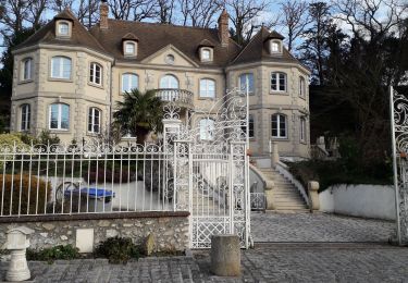
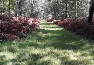
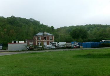
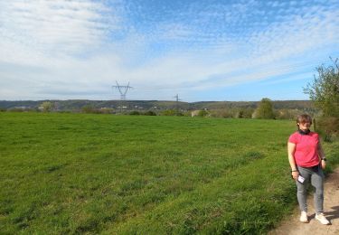
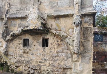
Randonnée Marche Hautot-sur-Seine - Hautot-sur-Seine 20180208 PT  - Photo

Hautot-sur-Seine 20180208 PT

 philippe76
philippe76

Utilisateur

© OpenStreetMap contributors
Longueur
Longueur
7,8 km
Altitude max
Altitude max
65 m
Dénivelé positif
Dénivelé positif
83 m
Km-Effort
Km-Effort  
9 km
Altitude min
Altitude min
-3 m
Dénivelé négatif
Dénivelé négatif
86 m
Boucle
Boucle
Oui
Date de création :
2018-04-17 16:47:11.176
Dernière modification :
2018-04-17 16:47:11.176

(1 Avis)

Marche
Marche
1h57
Difficulté : Facile

Scannez ce code QR pour ouvrir la randonnée dans l'application SityTrail

Application GPS de randonnée GRATUITE

Logo SityTrail SityTrail

IGN / Instituts géographiques

Télécharger SityTrail sur l'App Store Télécharger SityTrail sur Google Play

Logo SityTrail SityTrail World

Le monde est à vous

Télécharger SityTrail sur l'App Store Télécharger SityTrail sur Google Play Télécharger SityTrail sur Huawei AppGallery

À propos

Randonnée Marche de 7,8 km à découvrir à Normandie, Seine-Maritime, Hautot-sur-Seine. Cette randonnée est proposée par philippe76.

Profil altimétrique

Localisation

Pays :
France
Région :
Normandie
Département/Province :
Seine-Maritime
Commune :
Hautot-sur-Seine
Localité :
Unknown
Départ:(Dec)
Départ:(UTM)
353247 ; 5469639 (31U) N.

Commentaires

Veuillez vous connecter pour laisser un commentaire ou une note


Super randonnée !! Pas très longue et sympathique mise à part pour moi le côté bord de Seine avec vue sur les usine et dock je rajouterai un petit bémol parfois le tracé n’est pas très cadré du coup le fait que l’appli répète que l’on s’est trompé de chemin est casse pied 😂


Randonnées à proximité

Randonnée Marche Hautot-sur-Seine - Hautot-sur-seine  11km  - Photo
Marche
MichelRando7656

Marche

Moyen
(2)
Hautot-sur-Seine, Normandie, Seine-Maritime, France
11 km | 12,2 km-effort
2h 37min
Oui
Randonnée Marche Petit-Couronne - Petit-couronne. Vers le puis Hébert 10 Km - Photo
Marche
MichelRando7656

Marche

Difficile
(1)
Petit-Couronne, Normandie, Seine-Maritime, France
9,7 km | 12,3 km-effort
2h 18min
Oui
Randonnée Marche Moulineaux - Robert-le-Diable - château - GD - V2 - Photo
Marche
philippe76

Marche

Difficile
(1)
Moulineaux, Normandie, Seine-Maritime, France
10,4 km | 13,1 km-effort
2h 58min
Oui
Randonnée A pied Saint-Pierre-de-Manneville - Du coté du Manoir de Villers - Photo
A pied
JMCMoreau

A pied

Facile
(1)
Saint-Pierre-de-Manneville, Normandie, Seine-Maritime, France
11 km | 12,5 km-effort
2h 45min
Oui
Randonnée Marche Petit-Couronne - Petit-Couronne  Rando 9km200 - Photo
Marche
MichelRando7656

Marche

Moyen
(1)
Petit-Couronne, Normandie, Seine-Maritime, France
9,2 km | 11 km-effort
2h 48min
Oui
Randonnée Marche Saint-Pierre-de-Manneville - Les manoirs - Photo
Marche

Marche

Difficile
(1)
Saint-Pierre-de-Manneville, Normandie, Seine-Maritime, France
13,8 km | 15,5 km-effort
3h 31min
Oui
Randonnée Marche La Londe - 20240507-La Londe Cool - Photo
Marche
doudet

Marche

Facile
La Londe, Normandie, Seine-Maritime, France
7,3 km | 9,2 km-effort
2h 15min
Oui
Randonnée Marche Saint-Pierre-de-Manneville - st pierre de mainneville - Photo
Marche
Philippe Auguste

Marche

Moyen
Saint-Pierre-de-Manneville, Normandie, Seine-Maritime, France
7,6 km | 8,9 km-effort
1h 25min
Oui
Randonnée Marche La Bouille - La Bouille- Cote Albert Lambert-Robert le Diable - Photo
Marche
MichelRando7656

Marche

Difficile
La Bouille, Normandie, Seine-Maritime, France
14,9 km | 18,8 km-effort
4h 23min
Oui


Fermer
Mes abonnements