


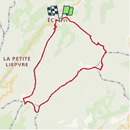

17,1 km | 27 km-effort


Utilisateur


Application GPS de randonnée GRATUITE
 SityTrail
IGN / Instituts géographiques
SityTrail World
Le monde est à vous
Randonnée Raquettes à neige de 15,2 km à découvrir à Grand Est, Haut-Rhin, Sainte-Marie-aux-Mines. Cette randonnée est proposée par markrei.
Echery - tertre - Rehberg - Le petit Brezouard - Le Grand Brézouard - Le Haicot - Echery

Marche

Marche

Randonnée équestre

Randonnée équestre

Marche
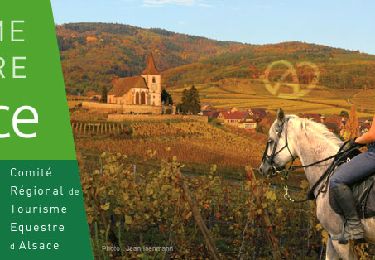
Randonnée équestre

A pied

Marche
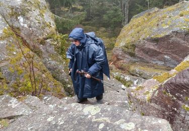
Marche