


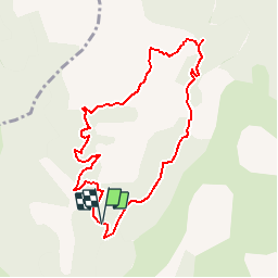


12,9 km | 21 km-effort

Les Hautes Alpes à découvrir ! GUIDE+


Application GPS de randonnée GRATUITE
 SityTrail
IGN / Instituts géographiques
SityTrail World
Le monde est à vous
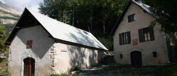
Randonnée Marche de 8,9 km à découvrir à Provence-Alpes-Côte d'Azur, Hautes-Alpes, La Roche-des-Arnauds. Cette randonnée est proposée par Camping Les Rives du Lac.
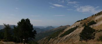
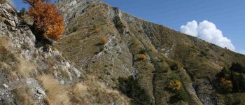
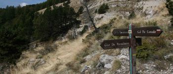
Randonnée sans difficulté technique qui offre une très belle vue sur le massif du Dévoluy.


Marche

Marche

Marche

Marche

V.T.T.

Marche

V.T.T.

V.T.T.

V.T.T.