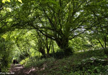
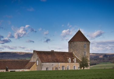
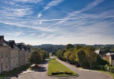
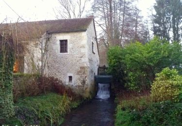
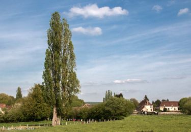
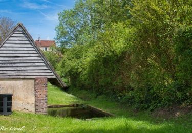
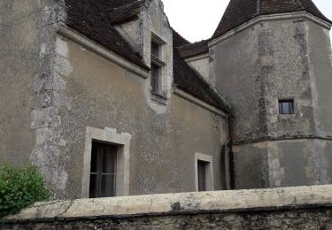
10,6 km | 13,5 km-effort
Maison Maugis 20.11
togolo28
Utilisateur
Longueur
20 km
Altitude max
237 m
Dénivelé positif
439 m
Km-Effort
26 km
Altitude min
131 m
Dénivelé négatif
441 m
Boucle
Oui
Date de création :
2018-04-17 16:23:21.278
Dernière modification :
2018-06-18 14:34:21.571
5h31
Difficulté : Moyen
Application GPS de randonnée GRATUITE
À propos
Randonnée Marche de 20 km à découvrir à Normandie, Orne, Cour-Maugis sur Huisne. Cette randonnée est proposée par togolo28.
Localisation
Pays :
France
Région :
Normandie
Département/Province :
Orne
Commune :
Cour-Maugis sur Huisne
Localité :
Unknown
Départ:(Dec)
Départ:(UTM)
330246 ; 5369249 (31U) N.
Commentaires
Randonnées à proximité
Monceaux au Perche (Boucle)
Marche
Facile
(2)
Longny les Villages,
Normandie,
Orne,
France
2h 30min
Oui
Bizou - Les sables du Perche 9,2 km
Marche
Moyen
Bizou,
Normandie,
Orne,
France
9,2 km | 11 km-effort
2h 29min
Oui
Sur les terres du siège de Rémalard par Guillaume le Conquérant 9,5 km
Marche
Moyen
Rémalard en Perche,
Normandie,
Orne,
France
9,5 km | 10,9 km-effort
2h 28min
Oui
Le Mont-Ligeon 5,1 km
Marche
Moyen
La Chapelle-Montligeon,
Normandie,
Orne,
France
5,1 km | 6,6 km-effort
1h 30min
Oui
Maison Maugis 22.37
Marche
Moyen
(1)
Cour-Maugis sur Huisne,
Normandie,
Orne,
France
22 km | 28 km-effort
Inconnu
Oui
La Chapelle-Montligeon - Longny-au-Perche via Bizou 16 km
Marche
Très difficile
La Chapelle-Montligeon,
Normandie,
Orne,
France
15,9 km | 20 km-effort
4h 22min
Non
La Chapelle-Montligeon - Moutiers-au-Perche via Bizou 20 km
Marche
Très difficile
La Chapelle-Montligeon,
Normandie,
Orne,
France
20 km | 26 km-effort
5h 33min
Non
La Chapelle-Montligeon - Le Mage via Bizou 18 km
Marche
Très difficile
La Chapelle-Montligeon,
Normandie,
Orne,
France
17,9 km | 23 km-effort
4h 53min
Non
Monceaux et le Manoir
Marche
Facile
Longny les Villages,
Normandie,
Orne,
France
7,6 km | 9,6 km-effort
3h 0min
Oui