


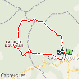

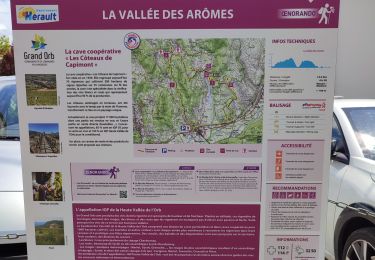
13 km | 18,6 km-effort


Utilisateur


Application GPS de randonnée GRATUITE
 SityTrail
IGN / Instituts géographiques
SityTrail World
Le monde est à vous
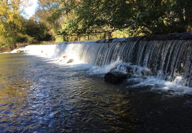
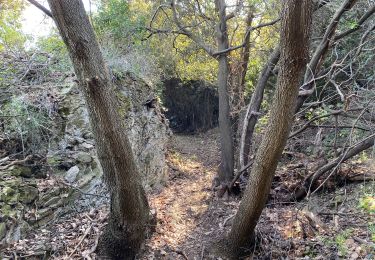
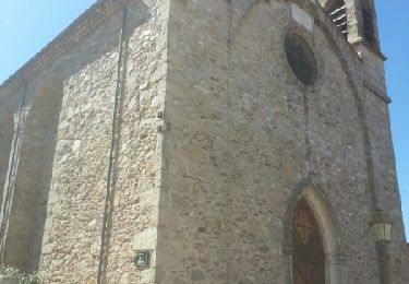
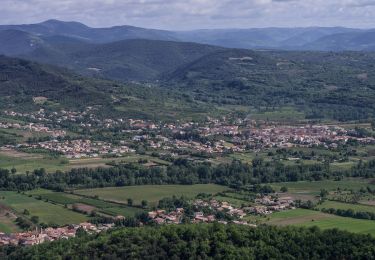
Randonnée Marche de 8 km à découvrir à Occitanie, Hérault, Caussiniojouls. Cette randonnée est proposée par jdelettrez.
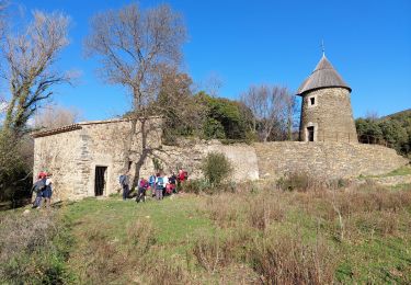
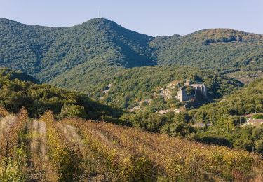
Une extension de la randonnée du bois de l'Estelier à la Borie Nouvelle en utilisant le GRP
Départ parking de la mairie de Caussiniojouls
Marche
Marche
Marche
A pied

V.T.T.

Marche
Marche
A pied