


18,4 km | 26 km-effort


Utilisateur


Application GPS de randonnée GRATUITE
 SityTrail
IGN / Instituts géographiques
SityTrail World
Le monde est à vous
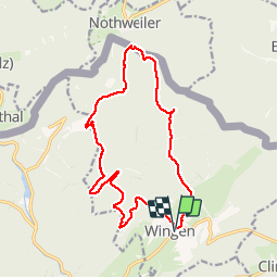
Randonnée Marche de 15,8 km à découvrir à Grand Est, Bas-Rhin, Wingen. Cette randonnée est proposée par LUTZMarc.
Belle rando dans les Vosges du nord.
Terrain sablonneux, praticable en tout temps.
Resto possible â l'Hotel Restaurant du Gimbelhof.
Ferme du Froensbourg,
67510 Lembach
Tel 03 88 94 43 58
Pensez à réserver, c'est très fréquenté surtout le dimanche.
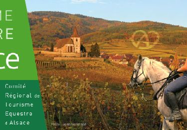
Randonnée équestre

Marche

V.T.T.
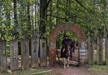
Randonnée équestre
Randonnée équestre
A pied
A pied