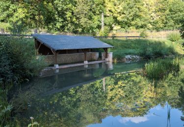
23 km | 26 km-effort
Lémeré
danaubrac
Utilisateur
Longueur
11 km
Altitude max
96 m
Dénivelé positif
107 m
Km-Effort
12,4 km
Altitude min
39 m
Dénivelé négatif
106 m
Boucle
Oui
Date de création :
2018-04-17 15:37:51.423
Dernière modification :
2018-04-17 15:37:51.423
2h16
Difficulté : Facile
Application GPS de randonnée GRATUITE
À propos
Randonnée Marche de 11 km à découvrir à Centre-Val de Loire, Indre-et-Loire, Lémeré. Cette randonnée est proposée par danaubrac.
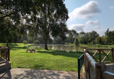
Localisation
Pays :
France
Région :
Centre-Val de Loire
Département/Province :
Indre-et-Loire
Commune :
Lémeré
Localité :
Unknown
Départ:(Dec)
Départ:(UTM)
297716 ; 5217835 (31T) N.
Commentaires
Randonnées à proximité
Champigny-sur-Veude - Richelieu Chaveignes - 23.2km 180m 5h15 (50mn) - 2024 0...
Marche
Facile
Champigny-sur-Veude,
Centre-Val de Loire,
Indre-et-Loire,
France
5h 15min
Oui
Lémeré Fontaine de Jable - variante PR de Champigny-sur-Veude - 13.1km 160m 3...
Marche
Facile
Champigny-sur-Veude,
Centre-Val de Loire,
Indre-et-Loire,
France
13,1 km | 15,3 km-effort
3h 0min
Oui
Lémeré - le Coudray Château du Rivau - 15.6km 140m 3h20 (1h) - 2024 08 25
Marche
Facile
Lémeré,
Centre-Val de Loire,
Indre-et-Loire,
France
15,6 km | 17,5 km-effort
3h 20min
Oui
Lémeré le Coudray - Château du Rivau Lémeré - 11.2km 115m 2h25 - 2024 08 18
Marche
Facile
Lémeré,
Centre-Val de Loire,
Indre-et-Loire,
France
11,2 km | 12,8 km-effort
2h 25min
Oui
Tavant - Sazilly PM - 11.6km 105m 2h25 - 2024 08 07
Marche
Facile
Tavant,
Centre-Val de Loire,
Indre-et-Loire,
France
11,6 km | 13 km-effort
2h 25min
Oui
etang assay
Marche nordique
Très facile
Champigny-sur-Veude,
Centre-Val de Loire,
Indre-et-Loire,
France
6,9 km | 7,5 km-effort
1h 51min
Oui