


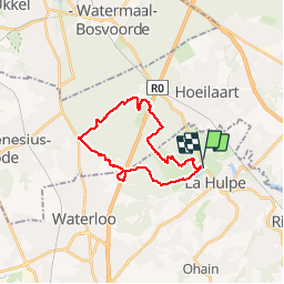


23 km | 28 km-effort

Utilisateur GUIDE


Application GPS de randonnée GRATUITE
 SityTrail
IGN / Instituts géographiques
SityTrail World
Le monde est à vous
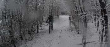
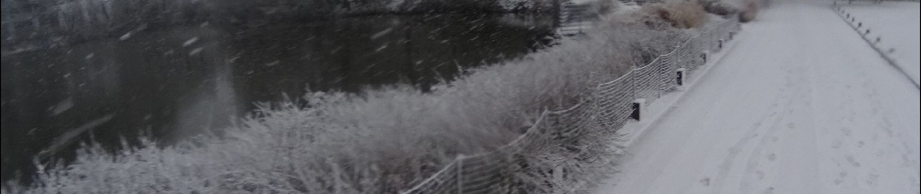
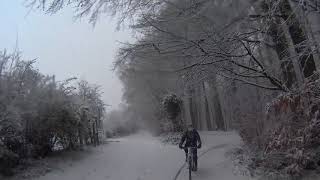
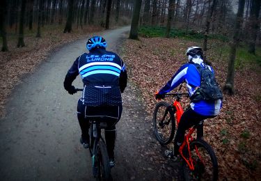
Randonnée V.T.T. de 19,5 km à découvrir à Wallonie, Brabant wallon, La Hulpe. Cette randonnée est proposée par pascalou73.
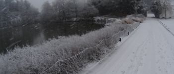
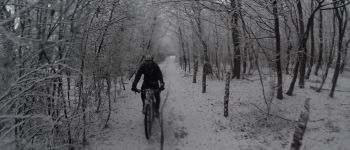
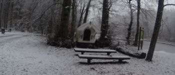
Voilâ un petit VTT dans la région de la Hulpe . il va vous faire découvrire une petite partie de la forêt de Soignes au départ du beau château de la Hulpe . Cette randonnée ouverte au petit et au grand..


Marche

Marche

V.T.T.

Marche

Marche

V.T.T.

Marche
Marche
V.T.T.
Très bien