

Saint Clément Bois de Paris Cros d'Embrasas

grageot
Utilisateur

Longueur
15,3 km

Altitude max
239 m

Dénivelé positif
296 m

Km-Effort
19,2 km

Altitude min
57 m

Dénivelé négatif
296 m
Boucle
Oui
Date de création :
2018-04-17 14:19:06.568
Dernière modification :
2018-04-17 14:19:06.568
4h08
Difficulté : Facile

Application GPS de randonnée GRATUITE
À propos
Randonnée Marche de 15,3 km à découvrir à Occitanie, Gard, Saint-Clément. Cette randonnée est proposée par grageot.
Description
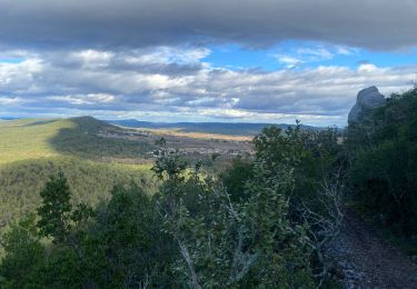
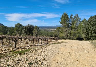
Belle ballade dans la garrigue gardoise, beau panorama sur la plaine.Sentier un peu difficile à trouver en arrivant au Cros d'Embrassas après le Chapeau de Gendarme
Localisation
Pays :
France
Région :
Occitanie
Département/Province :
Gard
Commune :
Saint-Clément
Localité :
Unknown
Départ:(Dec)
Départ:(UTM)
582342 ; 4853198 (31T) N.
Commentaires
Randonnées à proximité
FONTANÉS 30 - SALINELLES - PONDRES - ballade autour du Vidourle


Marche
Moyen
(3)
Fontanès,
Occitanie,
Gard,
France

10,7 km | 12,7 km-effort
1h 59min
Oui
Carnas bois de Paris


Marche
Moyen
(2)
Carnas,
Occitanie,
Gard,
France

12,8 km | 15,6 km-effort
4h 0min
Oui

Le bois de Paris - Grotte, Table d'orientation, Oppidum


Marche
Moyen
(1)
Saint-Clément,
Occitanie,
Gard,
France

8,2 km | 10,9 km-effort
2h 29min
Oui

Viclefesc_ND_de_la_combe


Marche
Difficile
Vic-le-Fesq,
Occitanie,
Gard,
France

12,8 km | 15,6 km-effort
3h 32min
Oui
salinelles-pondres-souvignargues-fontanes


Marche
Moyen
Salinelles,
Occitanie,
Gard,
France

14,7 km | 17,2 km-effort
4h 14min
Oui
Asperes-stClement-gailhan-lecques


Marche
Moyen
Aspères,
Occitanie,
Gard,
France

16,3 km | 19,5 km-effort
4h 44min
Oui
Le bois de Paris


Marche
Moyen
Garrigues,
Occitanie,
Hérault,
France

14 km | 18 km-effort
4h 0min
Non


 SityTrail


