


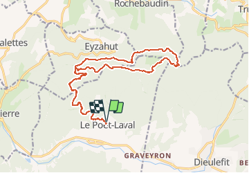


17,3 km | 31 km-effort


Utilisateur


Application GPS de randonnée GRATUITE
 SityTrail
IGN / Instituts géographiques
SityTrail World
Le monde est à vous
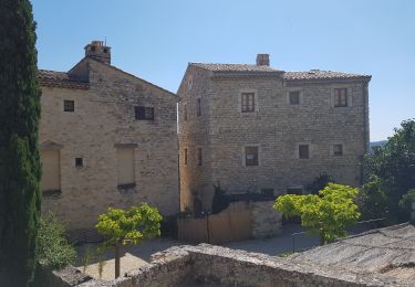
Randonnée V.T.T. de 22 km à découvrir à Auvergne-Rhône-Alpes, Drôme, Le Poët-Laval. Cette randonnée est proposée par quercus26.
Un super tour!
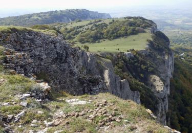
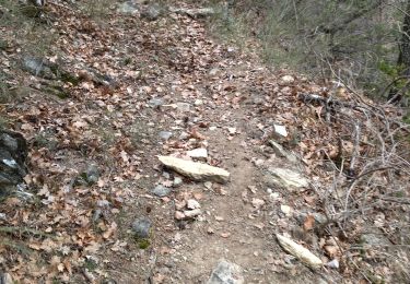
800 m de portage pour monter au "trou du furet" puis les plaines et la descente vers rochebaudin ( attention danger pour quelques passage très très proche du vide). puis une super descente en sous bois. Attention au temps et surtout au vent...

A pied

Marche

Marche

Marche
Marche

Marche
Marche

Marche
Marche