24 km | 30 km-effort
2011-09-18 - 12h23m28
samuel62380
Utilisateur
Longueur
36 km
Altitude max
185 m
Dénivelé positif
505 m
Km-Effort
42 km
Altitude min
43 m
Dénivelé négatif
505 m
Boucle
Oui
Date de création :
2014-12-10 00:00:00.0
Dernière modification :
2014-12-10 00:00:00.0
2h28
Difficulté : Facile
Application GPS de randonnée GRATUITE
À propos
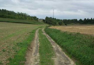
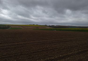
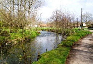
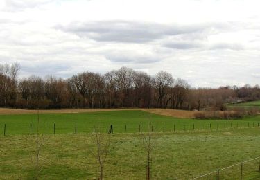
Randonnée V.T.T. de 36 km à découvrir à Hauts-de-France, Pas-de-Calais, Remilly-Wirquin. Cette randonnée est proposée par samuel62380.
Localisation
Pays :
France
Région :
Hauts-de-France
Département/Province :
Pas-de-Calais
Commune :
Remilly-Wirquin
Localité :
Unknown
Départ:(Dec)
Départ:(UTM)
442786 ; 5614028 (31U) N.
Commentaires
Randonnées à proximité
Les Grands Camps - Lumbres
V.T.T.
Difficile
Lumbres,
Hauts-de-France,
Pas-de-Calais,
France
3h 0min
Oui
Inghem - Le sentier des Bosquets
Marche
Moyen
Bellinghem,
Hauts-de-France,
Pas-de-Calais,
France
8,2 km | 9,4 km-effort
1h 45min
Oui
esquerdes
Marche
Difficile
Esquerdes,
Hauts-de-France,
Pas-de-Calais,
France
12,1 km | 15,4 km-effort
2h 38min
Non
rando du Lion
Marche
Difficile
Pihem,
Hauts-de-France,
Pas-de-Calais,
France
16,3 km | 18,8 km-effort
2h 52min
Oui
Therouanne - Le sentier des Morins
Marche
Moyen
Thérouanne,
Hauts-de-France,
Pas-de-Calais,
France
14,4 km | 16,5 km-effort
3h 30min
Oui
Thérouanne - Le sentier des batailles
Marche
Moyen
Thérouanne,
Hauts-de-France,
Pas-de-Calais,
France
9,4 km | 10,6 km-effort
2h 15min
Oui
2010-09-12 - 17h08m36
Marche
Très facile
Wavrans-sur-l'Aa,
Hauts-de-France,
Pas-de-Calais,
France
3,4 km | 3,9 km-effort
Inconnu
Non
Le ravin de Pihen 9.8km et 120m déniv
Marche
Moyen
Hallines,
Hauts-de-France,
Pas-de-Calais,
France
9,8 km | 11,4 km-effort
2h 35min
Oui
Rando CAPSO La Coupole
Marche
Moyen
Helfaut,
Hauts-de-France,
Pas-de-Calais,
France
8,5 km | 10 km-effort
2h 16min
Oui