


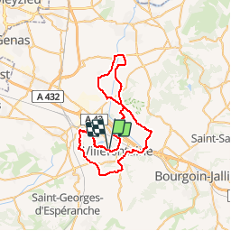

8,4 km | 10,6 km-effort


Utilisateur


Application GPS de randonnée GRATUITE
 SityTrail
IGN / Instituts géographiques
SityTrail World
Le monde est à vous
Randonnée Vélo de 55 km à découvrir à Auvergne-Rhône-Alpes, Isère, Villefontaine. Cette randonnée est proposée par lapldc97418.
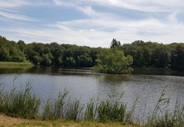
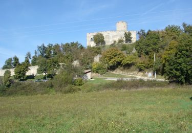
Départ et Arrivée Théâtre du Vellein. puis on longe l'etg de st Quentin Fallavier et on passe prés du Château par une montée puis on redescend sur St Quentin Fallavier pour rejoinde Bonnefamille puis c'est du roulant jusq'à Vaulx-Milieu. On passe St germain le Bois de la garenne pour rejoindre Frontonas il ya toujours du roulant. puis Jameysieu Retour sur Chamagnieu en passant pas loin de la Bourbre puis retour par la Verpilliere HP. au sortir de la Verpilliere prendre à gauche la piste cyclabe jusquà giratoire de Wolfen restez sur la piste cyclable on arrive au feu sur La D318 prendre à droite chemin qui méne au bourg au feu tout droit direction du village de villefontaine son Eglise et prendre direction le parc du Vellein

Marche
V.T.T.
Marche
Marche
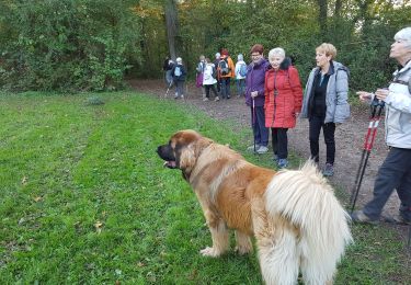
Marche
Cyclotourisme
Vélo
V.T.T.
V.T.T.