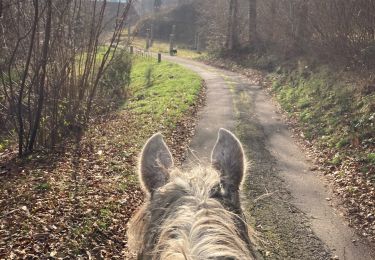
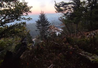
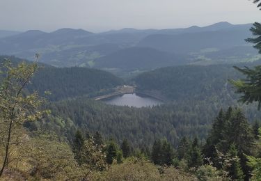
4,4 km | 7,7 km-effort
Plainfaing P6
PhilippeC54
Utilisateur
Longueur
14,9 km
Altitude max
1003 m
Dénivelé positif
510 m
Km-Effort
22 km
Altitude min
601 m
Dénivelé négatif
510 m
Boucle
Oui
Date de création :
2018-04-17 11:11:06.829
Dernière modification :
2018-04-17 11:11:06.829
1h37
Difficulté : Moyen
Application GPS de randonnée GRATUITE
À propos
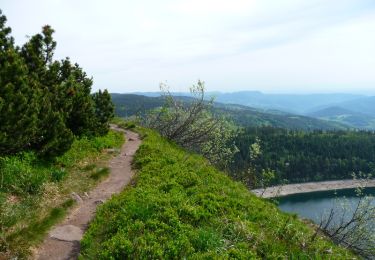
Randonnée V.T.T. de 14,9 km à découvrir à Grand Est, Vosges, Plainfaing. Cette randonnée est proposée par PhilippeC54.
Localisation
Pays :
France
Région :
Grand Est
Département/Province :
Vosges
Commune :
Plainfaing
Localité :
Unknown
Départ:(Dec)
Départ:(UTM)
353663 ; 5337030 (32U) N.
Commentaires
Randonnées à proximité
Le Tour du Lac Blanc par le Rocher Hans et le sentier de crête
Marche
Difficile
(3)
Orbey,
Grand Est,
Haut-Rhin,
France
2h 30min
Oui
Tête des faux .
Marche
Moyen
(1)
Le Bonhomme,
Grand Est,
Haut-Rhin,
France
11,9 km | 16,6 km-effort
3h 46min
Oui
Lac Blanc - Têtes des Faux
V.T.T.
Moyen
(1)
Orbey,
Grand Est,
Haut-Rhin,
France
15,3 km | 21 km-effort
1h 0min
Oui
2024-09-22 WE CVA Biffontaine Chaume de Serichamp
Randonnée équestre
Moyen
Fraize,
Grand Est,
Vosges,
France
25 km | 36 km-effort
4h 40min
Oui
2022-07-23 Marche Lacs Blanc Noir Forlet
Marche
Moyen
Orbey,
Grand Est,
Haut-Rhin,
France
16,2 km | 26 km-effort
5h 57min
Oui
Chapelle de mangegoutte
Marche
Facile
(3)
Mandray,
Grand Est,
Vosges,
France
6,1 km | 9 km-effort
1h 54min
Oui
Vallée des 5 lacs
Marche
Difficile
Orbey,
Grand Est,
Haut-Rhin,
France
28 km | 48 km-effort
7h 21min
Oui
Col du Calvaire ➡️ Lac Blanc
Marche
Moyen
Orbey,
Grand Est,
Haut-Rhin,
France
8,6 km | 12,8 km-effort
3h 9min
Oui
Lac blanc col de la schlucht Six fours lac noir
Vélo électrique
Moyen
Le Bonhomme,
Grand Est,
Haut-Rhin,
France
39 km | 49 km-effort
2h 57min
Oui