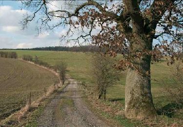
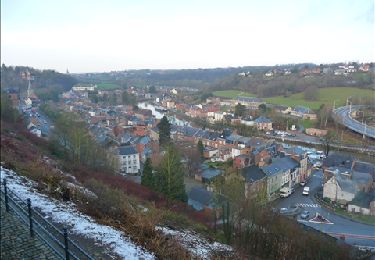
Randonnée Marche Thuin - La balade du Bois des Waibes. - Photo

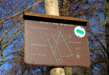
La balade du Bois des Waibes.

 Desrumaux
Desrumaux

Utilisateur GUIDE

© OpenStreetMap contributors
Longueur
Longueur
9,9 km
Altitude max
Altitude max
200 m
Dénivelé positif
Dénivelé positif
159 m
Km-Effort
Km-Effort  
12 km
Altitude min
Altitude min
108 m
Dénivelé négatif
Dénivelé négatif
158 m
Boucle
Boucle
Oui
Date de création :
2018-04-17 10:52:40.891
Dernière modification :
2018-04-17 10:52:40.891

(4 Avis)

Marche
Marche
2h41
Difficulté : Facile

Scannez ce code QR pour ouvrir la randonnée dans l'application SityTrail

Application GPS de randonnée GRATUITE

Logo SityTrail SityTrail

IGN / Instituts géographiques

Télécharger SityTrail sur l'App Store Télécharger SityTrail sur Google Play

Logo SityTrail SityTrail World

Le monde est à vous

Télécharger SityTrail sur l'App Store Télécharger SityTrail sur Google Play Télécharger SityTrail sur Huawei AppGallery

À propos

Randonnée Marche de 9,9 km à découvrir à Wallonie, Hainaut, Thuin. Cette randonnée est proposée par Desrumaux.

Description

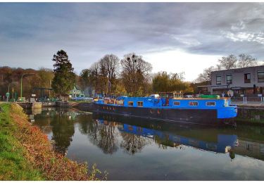
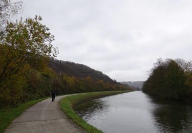
Jolie balade dans le Val de Sambre au départ du Hameau de Hourpes ou de la rue du Nespériat  à Thuin.

Profil altimétrique

Photos

Points d'intérêt

Point d'intérêt Thuin - Thuin - Photo
Desrumaux
THUIN 
Point d'intérêt Thuin - Thuin - Photo
Desrumaux
THUIN 
Point d'intérêt Thuin - Thuin - Photo
Desrumaux
THUIN 
Point d'intérêt Thuin - Thuin - Photo
Desrumaux
THUIN 
Point d'intérêt Thuin - Thuin - Photo
Desrumaux
THUIN 
Point d'intérêt Thuin - Hourpes - Photo
Desrumaux
THUIN 

Localisation

Pays :
Belgique
Région :
Wallonie
Département/Province :
Hainaut
Commune :
Thuin
Localité :
Thuin
Départ:(Dec)
Départ:(UTM)
592277 ; 5578378 (31U) N.

Commentaires

Veuillez vous connecter pour laisser un commentaire ou une note


Que du bonheur.....Très belle balade au grand calme....belle région MERCI PAPYLOU


Randonnées à proximité

Randonnée Marche Fontaine-l'Évêque - de l'Abbaye d'Aulne au hameau de Hourpes - Thuin - Photo
Marche
GUIDE
Desrumaux

Marche

Très facile
(2)
Fontaine-l'Évêque, Wallonie, Hainaut, Belgique
8,7 km | 10,9 km-effort
3h 16min
Oui
Randonnée Marche Montigny-le-Tilleul - Balade en Val de Sambre - De Landelies à l'Abbaye d'Aulne  - Photo
Marche
GUIDE
Desrumaux

Marche

Très facile
(1)
Montigny-le-Tilleul, Wallonie, Hainaut, Belgique
6,6 km | 8 km-effort
1h 49min
Oui
Randonnée Marche Montigny-le-Tilleul - BE-Montigny-le-Tilleul - Landelies - Aulne - 2 - Photo
Marche
GUIDE
MicDul

Marche

Très facile
(1)
Montigny-le-Tilleul, Wallonie, Hainaut, Belgique
7,1 km | 9,6 km-effort
2h 4min
Oui
Randonnée Marche Lobbes - Balade à Mont-Sainte-Geneviève - Photo
Marche
GUIDE
Desrumaux

Marche

Très facile
(3)
Lobbes, Wallonie, Hainaut, Belgique
9,1 km | 10,4 km-effort
2h 18min
Oui
Randonnée Marche Thuin - RB-Ha-08 - Thuin - Via allongement - Photo
Marche
PRO

Marche

Très difficile
(2)
Thuin, Wallonie, Hainaut, Belgique
25 km | 32 km-effort
7h 12min
Oui
Randonnée Marche Thuin - RB-Ha-08 - Thuin - Photo
Marche
PRO

Marche

Très difficile
(2)
Thuin, Wallonie, Hainaut, Belgique
22 km | 28 km-effort
6h 26min
Oui
Randonnée Marche Thuin - Thuin - De la Ville Haute à la Ville Basse - Photo
Marche
GUIDE
Desrumaux

Marche

Facile
(4)
Thuin, Wallonie, Hainaut, Belgique
4,5 km | 6,6 km-effort
1h 20min
Oui
Randonnée Marche Lobbes - LOBBES (vers Hourpes) dép RHS - Photo
Marche
ELISECRO

Marche

Moyen
(1)
Lobbes, Wallonie, Hainaut, Belgique
7,2 km | 8,6 km-effort
2h 1min
Oui
Randonnée Marche Thuin - Ragnies  - Photo
Marche
ELISECRO

Marche

Très facile
(3)
Thuin, Wallonie, Hainaut, Belgique
6,6 km | 7,3 km-effort
1h 14min
Oui


Fermer
Mes abonnements