![](/images/other/stat-length.png)
![Randonnée Marche Paris - GR65 - Tour St Jacques à Massy - Photo](https://media.geolcdn.com/t/1900/400/ext.pjpeg?maxdim=2&url=https%3A%2F%2Fservices.sitytrail.com%2FGeolivesWS%2FDownloadMedia.ashx%3FTrailID%3D838155%26Media%3Dfix__20160319184856.jpg)
GR65 - Tour St Jacques à Massy
uru2010
Utilisateur
![Longueur](/images/other/stat-length.png)
Longueur
19,7 km
![Altitude max](https://static1.geolcdn.com/siteimages/upload/files/1508320355ic_sort_altitude_max_24dp.png)
Altitude max
107 m
![Dénivelé positif](https://static1.geolcdn.com/siteimages/upload/files/1508320355ic_sort_den_pos_24dp.png)
Dénivelé positif
246 m
![Km-Effort](/images/other/stat-length.png)
Km-Effort
23 km
![Altitude min](https://static1.geolcdn.com/siteimages/upload/files/1508320355ic_sort_altitude_min_24dp.png)
Altitude min
29 m
![Dénivelé négatif](https://static1.geolcdn.com/siteimages/upload/files/1508320355ic_sort_den_neg_24dp.png)
Dénivelé négatif
216 m
![Boucle](https://static1.geolcdn.com/siteimages/upload/files/16400158638029165_repeat_loop_refresh_sync_direction_icon.png)
Boucle
Non
Date de création :
2018-04-16 23:50:32.481
Dernière modification :
2018-04-16 23:50:32.481
![Marche](https://static1.geolcdn.com/sitytour/trail-icons/101.png)
4h26
Difficulté : Facile
![Scannez ce code QR pour ouvrir la randonnée dans l'application SityTrail](https://capi.geolives.com/qq0zvz2zws4bq2lad0pu/sitytour/trails/838155/qr.png?size=200)
Application GPS de randonnée GRATUITE
À propos
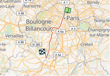
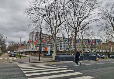
Randonnée Marche de 19,7 km à découvrir à Île-de-France, Paris, Paris. Cette randonnée est proposée par uru2010.
Description
Début du chemin de Compostelle via la Coulée Verte.
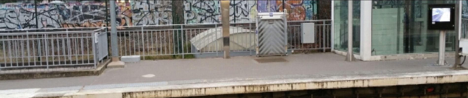
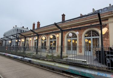
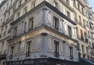
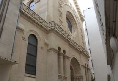
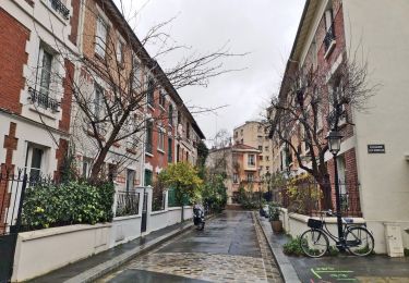
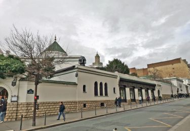
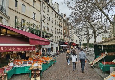
Localisation
Pays :
France
Région :
Île-de-France
Département/Province :
Paris
Commune :
Paris
Localité :
Paris 4e Arrondissement
Départ:(Dec)
Départ:(UTM)
452302 ; 5411868 (31U) N.
Commentaires
Randonnées à proximité
![Randonnée Marche Paris - Rando à thème : Georges Brassens - Parcours complet - Photo](https://media.geolcdn.com/t/375/260/dd7b2106-cdfc-45d2-b882-21cd74d02774.jpg&format=jpg&maxdim=2)
![Marche Marche](https://static1.geolcdn.com/sitytour/trail-icons/101.png)
Rando à thème : Georges Brassens - Parcours complet
Marche
Difficile
(1)
Paris,
Île-de-France,
Paris,
France
![](/images/other/stat-length.png)
34 km | 39 km-effort
6h 49min
![](https://static1.geolcdn.com/siteimages/upload/files/16400158638029165_repeat_loop_refresh_sync_direction_icon.png)
Non
![Randonnée Marche Paris - Balade Paris Mars - Street art 13 ème / Tours Novel / Mouffetard---> Montorgueil - Photo](https://media.geolcdn.com/t/375/260/f8997d8c-ff6a-4865-a3fa-0c8ffc9300f3.jpg&format=jpg&maxdim=2)
![Marche Marche](https://static1.geolcdn.com/sitytour/trail-icons/101.png)
Balade Paris Mars - Street art 13 ème / Tours Novel / Mouffetard---> Montorgueil
Marche
Très facile
(1)
Paris,
Île-de-France,
Paris,
France
![](/images/other/stat-length.png)
18,4 km | 22 km-effort
6h 21min
![](https://static1.geolcdn.com/siteimages/upload/files/16400158638029165_repeat_loop_refresh_sync_direction_icon.png)
Non
![Randonnée Marche Paris - Balade parisienne le 28 février - Photo](https://media.geolcdn.com/t/375/260/68aea2de-42ab-49c3-94e6-4fbf1fbdd020.jpg&format=jpg&maxdim=2)
![Marche Marche](https://static1.geolcdn.com/sitytour/trail-icons/101.png)
Balade parisienne le 28 février
Marche
Très facile
(1)
Paris,
Île-de-France,
Paris,
France
![](/images/other/stat-length.png)
23 km | 27 km-effort
5h 39min
![](https://static1.geolcdn.com/siteimages/upload/files/16400158638029165_repeat_loop_refresh_sync_direction_icon.png)
Non
![Randonnée Marche Paris - 034 - Paris - De place Pereire à République - Photo](https://media.geolcdn.com/t/375/260/6eac2f44-ae7d-4c3a-b4a0-edb2243c2709.jpeg&format=jpg&maxdim=2)
![Marche Marche](https://static1.geolcdn.com/sitytour/trail-icons/101.png)
034 - Paris - De place Pereire à République
Marche
Moyen
(1)
Paris,
Île-de-France,
Paris,
France
![](/images/other/stat-length.png)
9,5 km | 11,2 km-effort
2h 32min
![](https://static1.geolcdn.com/siteimages/upload/files/16400158638029165_repeat_loop_refresh_sync_direction_icon.png)
Non
![Randonnée Marche Paris - PAH-02 - Photo](https://media.geolcdn.com/t/375/260/ee3b1f27-bb87-433f-86a1-54f44c35876e.jpg&format=jpg&maxdim=2)
![Marche Marche](https://static1.geolcdn.com/sitytour/trail-icons/101.png)
![Randonnée Marche Paris - DP75-16 De Chevaleret à Tolbiac - Photo](https://media.geolcdn.com/t/375/260/8a47c3b6-24b3-49fa-a2b6-5293a39f948c.jpg&format=jpg&maxdim=2)
![Marche Marche](https://static1.geolcdn.com/sitytour/trail-icons/101.png)
DP75-16 De Chevaleret à Tolbiac
Marche
Facile
(1)
Paris,
Île-de-France,
Paris,
France
![](/images/other/stat-length.png)
4,3 km | 5,1 km-effort
1h 8min
![](https://static1.geolcdn.com/siteimages/upload/files/16400158638029165_repeat_loop_refresh_sync_direction_icon.png)
Non
![Randonnée Marche Paris - DP75-15 Du square Saint-Médard à Chevaleret - Photo](https://media.geolcdn.com/t/375/260/78e272bf-5c47-4ff2-b6dd-62e8326c2885.jpg&format=jpg&maxdim=2)
![Marche Marche](https://static1.geolcdn.com/sitytour/trail-icons/101.png)
DP75-15 Du square Saint-Médard à Chevaleret
Marche
Facile
(1)
Paris,
Île-de-France,
Paris,
France
![](/images/other/stat-length.png)
3,3 km | 4 km-effort
54min
![](https://static1.geolcdn.com/siteimages/upload/files/16400158638029165_repeat_loop_refresh_sync_direction_icon.png)
Non
![Randonnée Marche Paris - DP75-14 De Sèvres-Babylone au square Saint-Médard - Photo](https://media.geolcdn.com/t/375/260/a199d31d-b175-4057-acc7-f0c89d3fc917.jpg&format=jpg&maxdim=2)
![Marche Marche](https://static1.geolcdn.com/sitytour/trail-icons/101.png)
DP75-14 De Sèvres-Babylone au square Saint-Médard
Marche
Facile
(1)
Paris,
Île-de-France,
Paris,
France
![](/images/other/stat-length.png)
5 km | 5,8 km-effort
1h 18min
![](https://static1.geolcdn.com/siteimages/upload/files/16400158638029165_repeat_loop_refresh_sync_direction_icon.png)
Non
![Randonnée Marche Paris - DP75-13 De Vaugirard à Sèvres-Babylone - Photo](https://media.geolcdn.com/t/375/260/ef3b90ff-736f-49ef-8953-54f5a63f322a.jpg&format=jpg&maxdim=2)
![Marche Marche](https://static1.geolcdn.com/sitytour/trail-icons/101.png)
DP75-13 De Vaugirard à Sèvres-Babylone
Marche
Facile
(1)
Paris,
Île-de-France,
Paris,
France
![](/images/other/stat-length.png)
4,4 km | 5 km-effort
1h 8min
![](https://static1.geolcdn.com/siteimages/upload/files/16400158638029165_repeat_loop_refresh_sync_direction_icon.png)
Non