


18,4 km | 26 km-effort


Utilisateur


Application GPS de randonnée GRATUITE
 SityTrail
IGN / Instituts géographiques
SityTrail World
Le monde est à vous
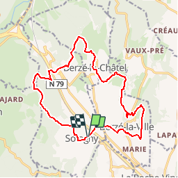
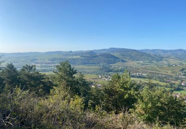
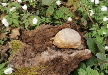
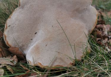
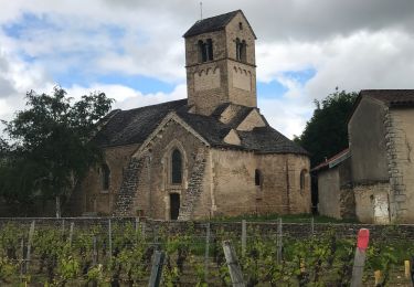
Randonnée Marche de 17,4 km à découvrir à Bourgogne-Franche-Comté, Saône-et-Loire, Sologny. Cette randonnée est proposée par GR192.

Marche

sport
Marche
Marche
Marche
Marche
Marche
Marche
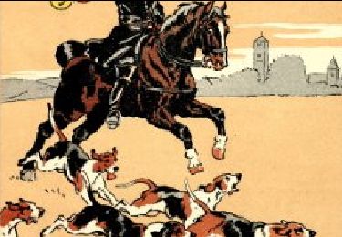
Randonnée équestre
table de pique nique vers château