52 km | 67 km-effort
wa
masshumb
Utilisateur
Longueur
7,3 km
Altitude max
486 m
Dénivelé positif
197 m
Km-Effort
9,9 km
Altitude min
323 m
Dénivelé négatif
196 m
Boucle
Oui
Date de création :
2018-04-16 23:19:33.501
Dernière modification :
2018-04-16 23:19:33.501
1h50
Difficulté : Inconnu
Application GPS de randonnée GRATUITE
À propos
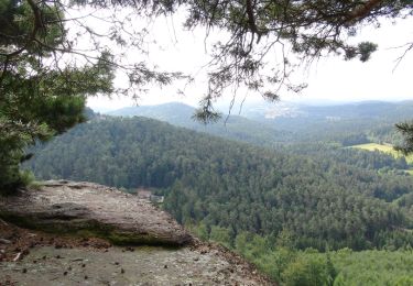
Randonnée Autre activité de 7,3 km à découvrir à Grand Est, Moselle, Walscheid. Cette randonnée est proposée par masshumb.
Localisation
Pays :
France
Région :
Grand Est
Département/Province :
Moselle
Commune :
Walscheid
Localité :
Unknown
Départ:(Dec)
Départ:(UTM)
364198 ; 5389713 (32U) N.
Commentaires
Randonnées à proximité
sortie VTT du 01092019 Abreschwiller
V.T.T.
Difficile
Abreschviller,
Grand Est,
Moselle,
France
33 km | 45 km-effort
2h 42min
Oui
De Haselbourg au Rocher de Falkenfels
Marche
Facile
(2)
Haselbourg,
Grand Est,
Moselle,
France
6,4 km | 9,7 km-effort
2h 6min
Oui
Rocher du diable Yoigo et Joyeux en main
Randonnée équestre
Facile
Saint-Quirin,
Grand Est,
Moselle,
France
10,8 km | 15,7 km-effort
2h 3min
Oui
Circulaire de la Roche du Diable - Abreschviller
Marche
Difficile
(1)
Abreschviller,
Grand Est,
Moselle,
France
10,1 km | 14,7 km-effort
3h 20min
Oui
2023-06-18 Le Canceley, le Grd Rommelstein et le Rocher du Calice
A pied
Facile
Saint-Quirin,
Grand Est,
Moselle,
France
12,5 km | 19,7 km-effort
4h 29min
Oui
walscheid club vosgien
Marche
Moyen
Walscheid,
Grand Est,
Moselle,
France
16,2 km | 22 km-effort
4h 17min
Oui
20220313 - rando Walscheid - cimetière galllo-romain, grotte St-Léon
Marche
Très difficile
Walscheid,
Grand Est,
Moselle,
France
16,4 km | 23 km-effort
5h 16min
Oui
20210909_rando_MCA_Abreschwiller_Walscheid
Marche
Très difficile
Abreschviller,
Grand Est,
Moselle,
France
15,6 km | 24 km-effort
5h 23min
Oui