


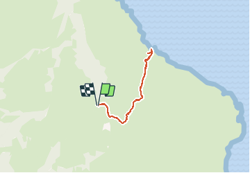

6,9 km | 17,2 km-effort

Utilisateur


Application GPS de randonnée GRATUITE
 SityTrail
IGN / Instituts géographiques
SityTrail World
Le monde est à vous
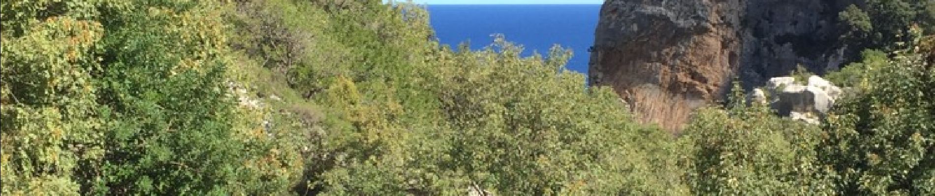
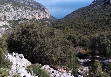
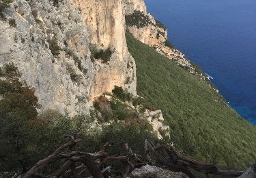
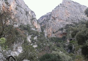
Randonnée Autre activité de 12,3 km à découvrir à Sardaigne, Nuoro, Baunei. Cette randonnée est proposée par zoe.vienne.
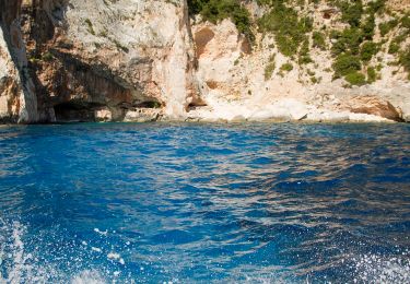
Randonnée faite le 22 septembre 2017. Il ne faut pas craindre les longues descentes et les longues remontées. Un droit d'entrée est demandé au niveau du parking. La baignade est un vrai bonheur !


A pied
Marche

Marche
Marche
Marche