


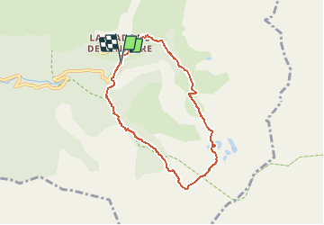

13,3 km | 20 km-effort

Utilisateur


Application GPS de randonnée GRATUITE
 SityTrail
IGN / Instituts géographiques
SityTrail World
Le monde est à vous
Randonnée Marche de 7,2 km à découvrir à Provence-Alpes-Côte d'Azur, Alpes-Maritimes, Saint-Martin-Vésubie. Cette randonnée est proposée par jlrayon.
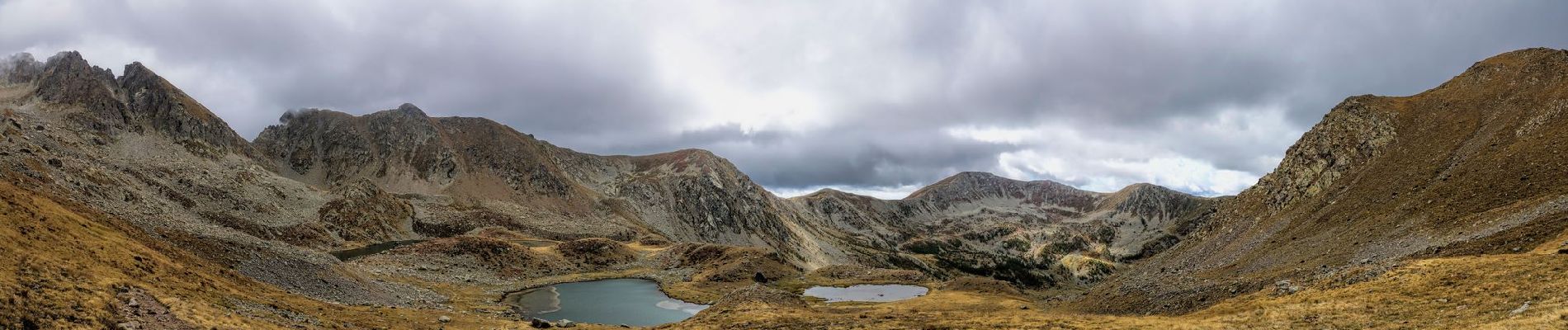
Montée par le vallon de Prals, descente par celui du Poncet.
Montée facile, la descente est assez raide.
Rando effectuée le 15-09-2017


Marche

A pied

Marche

Marche

Marche

A pied

A pied

A pied

Marche