


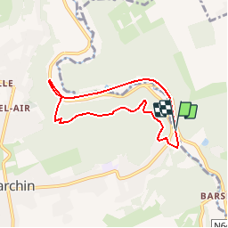

7,9 km | 10,7 km-effort


Utilisateur


Application GPS de randonnée GRATUITE
 SityTrail
IGN / Instituts géographiques
SityTrail World
Le monde est à vous
Randonnée Marche de 5,7 km à découvrir à Wallonie, Liège, Modave. Cette randonnée est proposée par mozzipsc.
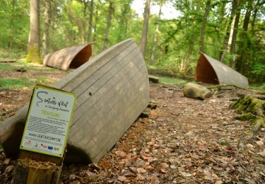
Petit parcours le long d'un ravel, puis empruntant le sentier des poudings (rochers) qui grimpe assez fort et longe les roches naturelles, entre fougères et bruyères. Attention, parcours escarpé. (suivre bande plastique rouge/blanche)

Marche

Marche

Marche

Marche
Marche

Marche
Marche

Marche

Marche