


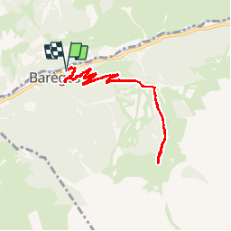


16 km | 34 km-effort

Utilisateur


Application GPS de randonnée GRATUITE
 SityTrail
IGN / Instituts géographiques
SityTrail World
Le monde est à vous
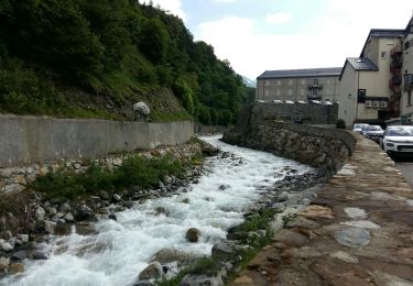
Randonnée Marche de 9,7 km à découvrir à Occitanie, Hautes-Pyrénées, Barèges. Cette randonnée est proposée par mistral86.
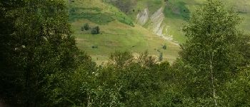
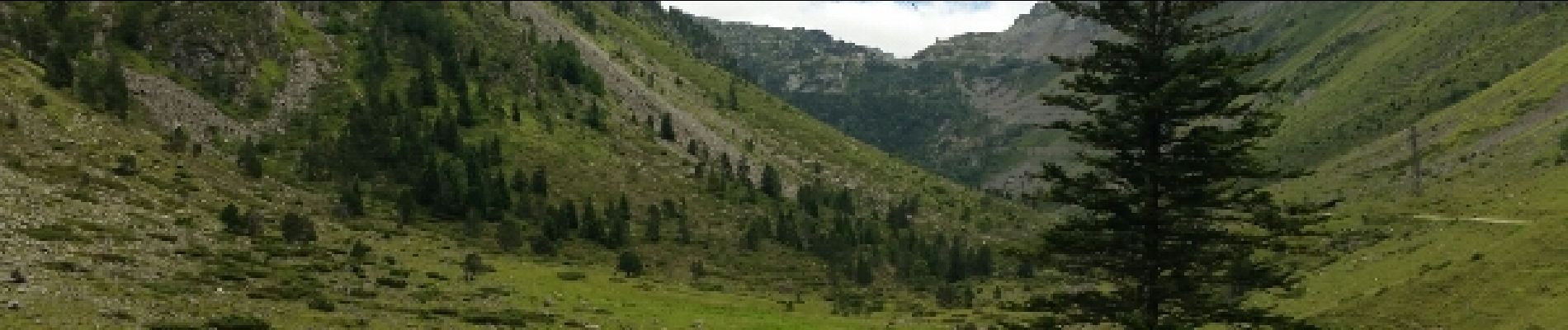
un petit aller retour sur le chemin de louisette et c'est montagne panoramique.
possibilité de continuer la route dès montagne


Marche

Marche

A pied

Marche
A pied

Randonnée équestre
Marche
Marche

Marche