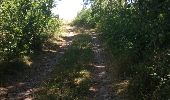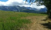

Hauteurs de St Bonnet en Champsaur

Lesquems
Utilisateur

Longueur
8,3 km

Altitude max
1228 m

Dénivelé positif
205 m

Km-Effort
11 km

Altitude min
1030 m

Dénivelé négatif
203 m
Boucle
Oui
Date de création :
2017-08-11 00:00:00.0
Dernière modification :
2017-08-11 00:00:00.0
2h02
Difficulté : Facile

Application GPS de randonnée GRATUITE
À propos
Randonnée Marche de 8,3 km à découvrir à Provence-Alpes-Côte d'Azur, Hautes-Alpes, Saint-Bonnet-en-Champsaur. Cette randonnée est proposée par Lesquems.
Description
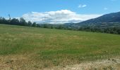
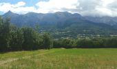
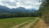
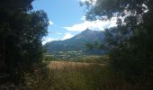
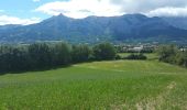
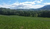
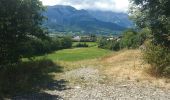
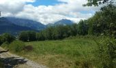
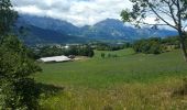
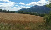
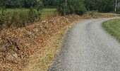
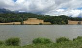
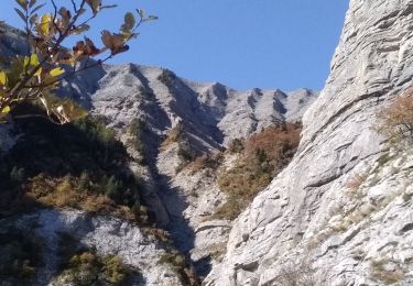
Très variée routes chemins champs et sous bois, des montées et descentes mais pas mal de plats
Localisation
Pays :
France
Région :
Provence-Alpes-Côte d'Azur
Département/Province :
Hautes-Alpes
Commune :
Saint-Bonnet-en-Champsaur
Localité :
Saint-Bonnet-en-Champsaur
Départ:(Dec)
Départ:(UTM)
268694 ; 4951410 (32T) N.
Commentaires
Randonnées à proximité
Infournas haut - Lac des Barbeyroux - Les infournas


Marche
Difficile
Saint-Bonnet-en-Champsaur,
Provence-Alpes-Côte d'Azur,
Hautes-Alpes,
France

10,1 km | 16 km-effort
3h 38min
Oui

La Cascade Sainte-Catherine et la Cabane des Pierres


Marche
Très difficile
(1)
Poligny,
Provence-Alpes-Côte d'Azur,
Hautes-Alpes,
France

9 km | 19 km-effort
4h 19min
Oui
Sommet du Chamois


Marche
Difficile
Poligny,
Provence-Alpes-Côte d'Azur,
Hautes-Alpes,
France

8 km | 18,6 km-effort
4h 13min
Oui
Le Girolet


Marche
Moyen
La Fare-en-Champsaur,
Provence-Alpes-Côte d'Azur,
Hautes-Alpes,
France

11,6 km | 24 km-effort
4h 45min
Oui

Sentier de la Cuque prolongé


Marche
Très facile
(1)
Laye,
Provence-Alpes-Côte d'Azur,
Hautes-Alpes,
France

11,8 km | 19,7 km-effort
2h 24min
Oui

La Cascade Sainte-Catherine et la Cabane des Pierres avec AR au col de Chétive


Marche
Très difficile
(1)
Poligny,
Provence-Alpes-Côte d'Azur,
Hautes-Alpes,
France

9,5 km | 19,4 km-effort
4h 25min
Oui

La Cascade Sainte-Catherine et la Cabane des Pierres et retour Laye par Chaudun


Marche
Très difficile
(1)
Poligny,
Provence-Alpes-Côte d'Azur,
Hautes-Alpes,
France

19,8 km | 40 km-effort
9h 2min
Non

Nocturne autour de St Laurent du Cros


Marche
Facile
Saint-Laurent-du-Cros,
Provence-Alpes-Côte d'Azur,
Hautes-Alpes,
France

6,9 km | 9,2 km-effort
2h 4min
Oui

Le Bois Vert Station de Laye


Marche
Moyen
(1)
La Fare-en-Champsaur,
Provence-Alpes-Côte d'Azur,
Hautes-Alpes,
France

9,1 km | 13,1 km-effort
2h 44min
Oui


 SityTrail


