


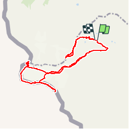

12,7 km | 22 km-effort


Utilisateur


Application GPS de randonnée GRATUITE
 SityTrail
IGN / Instituts géographiques
SityTrail World
Le monde est à vous
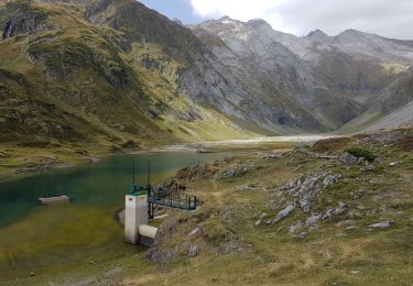
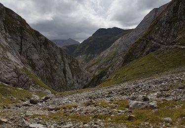
Randonnée Marche de 12,6 km à découvrir à Occitanie, Hautes-Pyrénées, Gavarnie-Gèdre. Cette randonnée est proposée par elagarde.
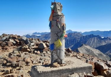
Massif du Vignemale : Glacier d'Ossoue, La Pique Longue (3298m), Pic de Cerbillona (3247m), Pic Central (3235m), Pic de Montferrat (3219m), Petit Vignemale (3032m).Parcours effectif réalisé en juillet 2017.Nécessite crampon et accessoirement piolet/bâtons.

Marche
Marche
Marche

A pied

A pied
Marche

Marche
Marche
Marche