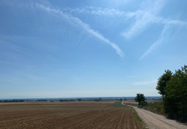
12,6 km | 13,8 km-effort
tour 3 offendorf herrlisheim Rohrwiller sessenheim drusenheim Offendorf
geoffess
Utilisateur
Longueur
35 km
Altitude max
137 m
Dénivelé positif
220 m
Km-Effort
38 km
Altitude min
115 m
Dénivelé négatif
221 m
Boucle
Oui
Date de création :
2017-07-16 00:00:00.0
Dernière modification :
2017-07-16 00:00:00.0
1h48
Difficulté : Très facile
Application GPS de randonnée GRATUITE
À propos
Randonnée Autre activité de 35 km à découvrir à Grand Est, Bas-Rhin, Offendorf. Cette randonnée est proposée par geoffess.
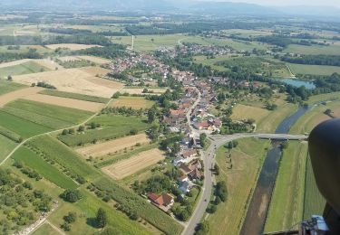
Localisation
Pays :
France
Région :
Grand Est
Département/Province :
Bas-Rhin
Commune :
Offendorf
Localité :
Unknown
Départ:(Dec)
Départ:(UTM)
420733 ; 5396402 (32U) N.
Commentaires
Randonnées à proximité
Geschichts- und Naturlehrpfad
A pied
Facile
Rheinau,
Bade-Wurtemberg,
Ortenaukreis,
Allemagne
3h 8min
Oui
Rheinweg
A pied
Facile
Rheinau,
Bade-Wurtemberg,
Ortenaukreis,
Allemagne
7,5 km | 8,3 km-effort
1h 53min
Non
Renchweg
A pied
Facile
Rheinau,
Bade-Wurtemberg,
Ortenaukreis,
Allemagne
7,9 km | 8,7 km-effort
1h 58min
Oui
Altrheinweg
A pied
Facile
Rheinau,
Bade-Wurtemberg,
Ortenaukreis,
Allemagne
6,8 km | 7,6 km-effort
1h 43min
Oui
Zorn et hohenberg
Randonnée équestre
Très facile
Weyersheim,
Grand Est,
Bas-Rhin,
France
26 km | 29 km-effort
5h 25min
Oui
Forêt de Gambsheim
sport
Très facile
Gambsheim,
Grand Est,
Bas-Rhin,
France
1,5 km | 1,8 km-effort
Inconnu
Oui
Walderlebnispfad
A pied
Facile
Lichtenau,
Bade-Wurtemberg,
Landkreis Rastatt,
Allemagne
3,7 km | 4,1 km-effort
55min
Oui
Freistett Oberharmersbach par Oberkirch et Oppenau 2
Vélo
Très facile
Rheinau,
Bade-Wurtemberg,
Ortenaukreis,
Allemagne
53 km | 65 km-effort
Inconnu
Non
Offendorf grand tour Réserve
Marche
Très facile
Offendorf,
Grand Est,
Bas-Rhin,
France
10,2 km | 11,1 km-effort
2h 3min
Oui