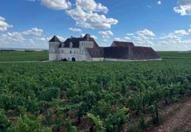
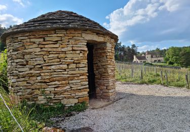
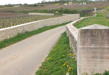
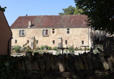
12,1 km | 15,5 km-effort
raidetoto2017 sam
Tollard
Utilisateur
Longueur
67 km
Altitude max
591 m
Dénivelé positif
1542 m
Km-Effort
88 km
Altitude min
284 m
Dénivelé négatif
1545 m
Boucle
Oui
Date de création :
2017-07-01 00:00:00.0
Dernière modification :
2017-07-01 00:00:00.0
7h02
Difficulté : Difficile
Application GPS de randonnée GRATUITE
À propos
Randonnée V.T.T. de 67 km à découvrir à Bourgogne-Franche-Comté, Côte-d'Or, Curley. Cette randonnée est proposée par Tollard.
Description
tytop
Localisation
Pays :
France
Région :
Bourgogne-Franche-Comté
Département/Province :
Côte-d'Or
Commune :
Curley
Localité :
Unknown
Départ:(Dec)
Départ:(UTM)
644501 ; 5229499 (31T) N.
Commentaires
Randonnées à proximité
circuit des vestiges disparus
Marche
Moyen
(2)
Semezanges,
Bourgogne-Franche-Comté,
Côte-d'Or,
France
3h 6min
Non
falaises et plateau
Marche
Difficile
(1)
Brochon,
Bourgogne-Franche-Comté,
Côte-d'Or,
France
15,9 km | 22 km-effort
4h 45min
Non
Circuit des Moines (Vin - Divin)
A pied
Facile
Vougeot,
Bourgogne-Franche-Comté,
Côte-d'Or,
France
15,7 km | 17,4 km-effort
3h 56min
Non
Boucle des cent marches et du pavillon de l'empereur
Marche
Moyen
Brochon,
Bourgogne-Franche-Comté,
Côte-d'Or,
France
5,5 km | 8,1 km-effort
1h 38min
Oui
Abbaye saint Vivant
Marche
Curtil-Vergy,
Bourgogne-Franche-Comté,
Côte-d'Or,
France
10 km | 14,3 km-effort
2h 43min
Non
Autour de Clos Vougeot
Marche
Très facile
Vougeot,
Bourgogne-Franche-Comté,
Côte-d'Or,
France
11,2 km | 14,2 km-effort
3h 3min
Non
08 06 22 Chambolle Musigny Gevrey Chambertin
Marche
Moyen
Chambolle-Musigny,
Bourgogne-Franche-Comté,
Côte-d'Or,
France
14,3 km | 19,1 km-effort
4h 47min
Oui
Clos Vougeot
Marche
Moyen
Vougeot,
Bourgogne-Franche-Comté,
Côte-d'Or,
France
16 km | 21 km-effort
4h 26min
Oui
Sentier Bernard Quarteaux
A pied
Facile
Gevrey-Chambertin,
Bourgogne-Franche-Comté,
Côte-d'Or,
France
6,4 km | 9,5 km-effort
2h 10min
Oui
excellent surtout le Pompon