


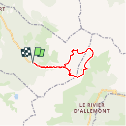

12,4 km | 21 km-effort


Utilisateur


Application GPS de randonnée GRATUITE
 SityTrail
IGN / Instituts géographiques
SityTrail World
Le monde est à vous
Randonnée Marche de 10,2 km à découvrir à Auvergne-Rhône-Alpes, Isère, Laval-en-Belledonne. Cette randonnée est proposée par druilhe.
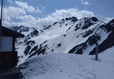
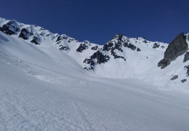
Bouquetins et Chamois pris par surprise au col de l'Aigleton

Marche
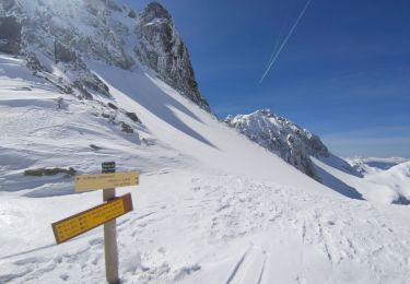
Ski de randonnée

Ski de randonnée

Ski de randonnée
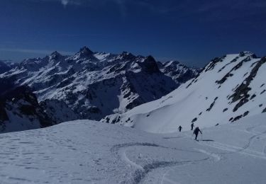
Ski de randonnée
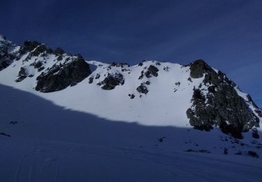
Ski de randonnée
Ski de randonnée
Ski de randonnée
Marche