


23 km | 35 km-effort


Utilisateur


Application GPS de randonnée GRATUITE
 SityTrail
IGN / Instituts géographiques
SityTrail World
Le monde est à vous
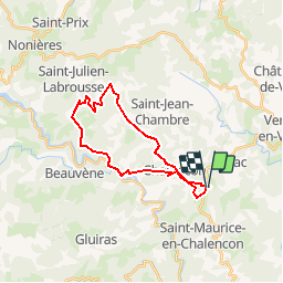
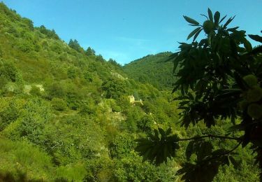
Randonnée Cheval de 23 km à découvrir à Auvergne-Rhône-Alpes, Ardèche, Saint-Maurice-en-Chalencon. Cette randonnée est proposée par giterias.
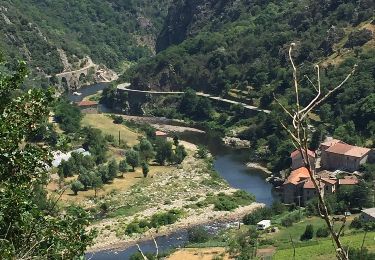
Boucle équestre de 26 km au départ du Petit Rias vers Saint Julien Labrousse.
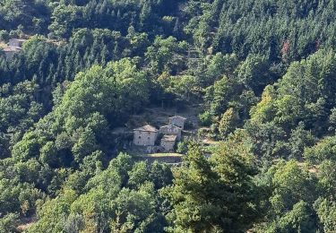
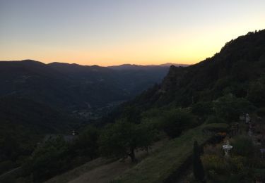
Dénivelé et vue sur la vallée de l'Eyrieux
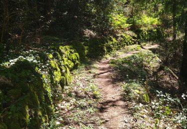
Marche
Marche
Marche
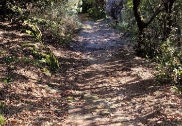
Marche
Marche
Marche

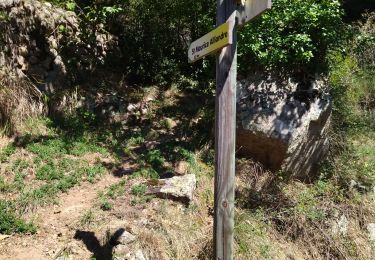
Marche
Marche
Marche