


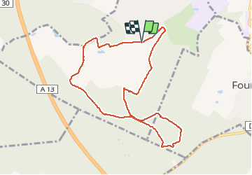

10,7 km | 13,7 km-effort


Utilisateur


Application GPS de randonnée GRATUITE
 SityTrail
IGN / Instituts géographiques
SityTrail World
Le monde est à vous
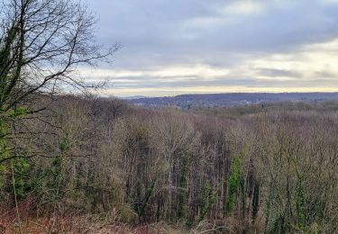
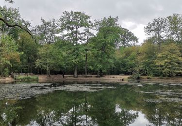
Randonnée Marche nordique de 8,8 km à découvrir à Île-de-France, Yvelines, Chambourcy. Cette randonnée est proposée par olivier732.
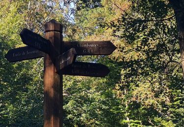
près de Chambourcy. Terrain varié avec des chemins pas toujours en très bon état. A côté du parcours vous pouvez visiter le "désert de Retz", jardin étonnant (visites le samedin sur inscription.
Marche
Marche

Marche
Marche

Marche
A pied

V.T.T.
Marche

Marche