


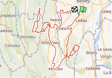

39 km | 54 km-effort


Utilisateur


Application GPS de randonnée GRATUITE
 SityTrail
IGN / Instituts géographiques
SityTrail World
Le monde est à vous
Randonnée V.T.T. de 31 km à découvrir à Auvergne-Rhône-Alpes, Ain, Belley. Cette randonnée est proposée par jeannot01.
Quelques boucles dans rothone en attendant que le ciel se dégage puis une joilie boucle entre Arbignieu et Colomieu avec de très belle descente.
Difficulté moyenne à difficile suivant le niveau
La roche percée est sous la Corne Boeuf
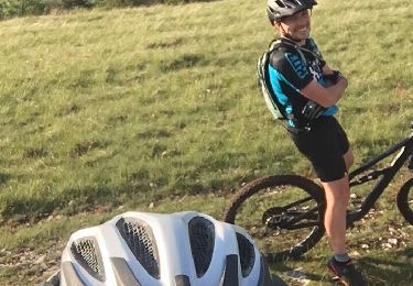
V.T.T.
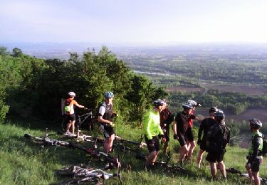
V.T.T.

V.T.T.
V.T.T.
V.T.T.
V.T.T.
V.T.T.
V.T.T.