


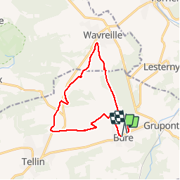

9,6 km | 11,9 km-effort

Utilisateur


Application GPS de randonnée GRATUITE
 SityTrail
IGN / Instituts géographiques
SityTrail World
Le monde est à vous
Randonnée Marche de 11,6 km à découvrir à Wallonie, Luxembourg, Tellin. Cette randonnée est proposée par GerardBouche.
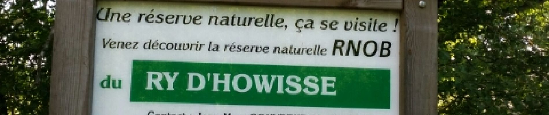
Un parcours très agréable mi-campagnard par les campagnes des "Maralles" avec une très belle vue sur le village de Tellin et mi-forestier par la réserve naturelle, le village de Wavreille et le bois de Wève.
 - Photo 1")
 - Photo 2")
 - Photo 3")
 - Photo 4")

Marche

Marche

Marche

Marche

Marche

Marche
Marche

Marche

Marche