Randonnée Vélo Remich - venetië dag 5 - Photo
 karawatsj
karawatsj

Utilisateur

© OpenStreetMap contributors
Longueur
Longueur
76 km
Altitude max
Altitude max
295 m
Dénivelé positif
Dénivelé positif
774 m
Km-Effort
Km-Effort  
86 km
Altitude min
Altitude min
136 m
Dénivelé négatif
Dénivelé négatif
690 m
Boucle
Boucle
Non
Date de création :
2017-06-02 00:00:00.0
Dernière modification :
2017-06-02 00:00:00.0

(0 Avis)

Vélo
Vélo
5h11
Difficulté : Moyen

Scannez ce code QR pour ouvrir la randonnée dans l'application SityTrail

Application GPS de randonnée GRATUITE

Logo SityTrail SityTrail

IGN / Instituts géographiques

Télécharger SityTrail sur l'App Store Télécharger SityTrail sur Google Play

Logo SityTrail SityTrail World

Le monde est à vous

Télécharger SityTrail sur l'App Store Télécharger SityTrail sur Google Play Télécharger SityTrail sur Huawei AppGallery

À propos

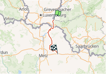
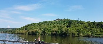
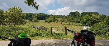
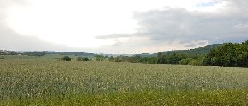
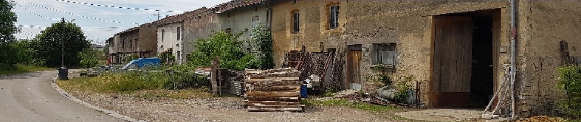
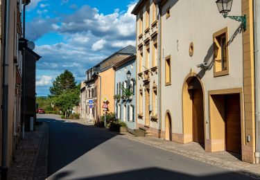
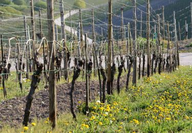
Randonnée Vélo de 76 km à découvrir à Inconnu, Canton Remich, Remich. Cette randonnée est proposée par karawatsj.

Description

Van Remich aan de Moezel naar Varize in Lotharingen

Profil altimétrique

Photos

Points d'intérêt

Point d'intérêt  - Point 1 - Photo
karawatsj
Point d'intérêt Sierck-les-Bains - Point 6 - Photo
karawatsj
SIERCK-LES-BAINS 
Point d'intérêt Inglange - Point 11 - Photo
karawatsj
INGLANGE 
Point d'intérêt Hombourg-Budange - Point 13 - Photo
karawatsj
HOMBOURG-BUDANGE 

Localisation

Pays :
Luxembourg
Région :
Inconnu
Département/Province :
Canton Remich
Commune :
Remich
Localité :
Unknown
Départ:(Dec)
Départ:(UTM)
310406 ; 5492087 (32U) N.

Randonnées à proximité

Randonnée Marche Schengen - Autopedestres : Wellenstein - Photo
Marche
GUIDE+

Marche

Très facile
(1)
Schengen, Inconnu, Canton Remich, Luxembourg
7,9 km | 11,2 km-effort
Inconnu
Oui
Randonnée A pied Palzem - VIA CALIGA - Wincheringen - Photo
A pied
GUIDE+

A pied

Moyen
Palzem, Rhénanie-Palatinat, Landkreis Trier-Saarburg, Allemagne
21 km | 27 km-effort
6h 14min
Oui
Randonnée A pied Palzem - VIA CALIGA - Palzem - Photo
A pied
GUIDE+

A pied

Moyen
Palzem, Rhénanie-Palatinat, Landkreis Trier-Saarburg, Allemagne
22 km | 29 km-effort
6h 29min
Oui
Randonnée A pied Perl - Dolinenweg - Photo
A pied
GUIDE+

A pied

Facile
Perl, Sarre, Landkreis Merzig-Wadern, Allemagne
7 km | 9,1 km-effort
2h 3min
Oui
Randonnée A pied Schengen - Circuit Cremant - Photo
A pied
GUIDE+

A pied

Facile
Schengen, Inconnu, Canton Remich, Luxembourg
4,8 km | 6,5 km-effort
1h 29min
Oui
Randonnée A pied Schengen - Naturpfad Reif - Photo
A pied
GUIDE+

A pied

Facile
Schengen, Inconnu, Canton Remich, Luxembourg
5,2 km | 7,3 km-effort
1h 40min
Oui
Randonnée A pied Schengen - Autoped Bech-Kleinmacher - Photo
A pied
GUIDE+

A pied

Facile
Schengen, Inconnu, Canton Remich, Luxembourg
5,5 km | 7,1 km-effort
1h 37min
Oui
Randonnée A pied Stadtbredimus - Trëppeltour Wäin, KulTour & Landschaft pur - Photo
A pied
GUIDE+

A pied

Facile
Stadtbredimus, Inconnu, Canton Remich, Luxembourg
6,8 km | 8,7 km-effort
1h 58min
Oui
Randonnée A pied Bous - Ierpeldenger Gipswee - Photo
A pied
GUIDE+

A pied

Facile
Bous, Inconnu, Canton Remich, Luxembourg
5,2 km | 6,5 km-effort
1h 28min
Oui


Fermer
Mes abonnements