


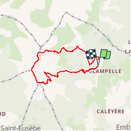

10,6 km | 21 km-effort

Utilisateur


Application GPS de randonnée GRATUITE
 SityTrail
IGN / Instituts géographiques
SityTrail World
Le monde est à vous
Randonnée Marche de 15,4 km à découvrir à Provence-Alpes-Côte d'Azur, Hautes-Alpes, Embrun. Cette randonnée est proposée par Dervalmarc.
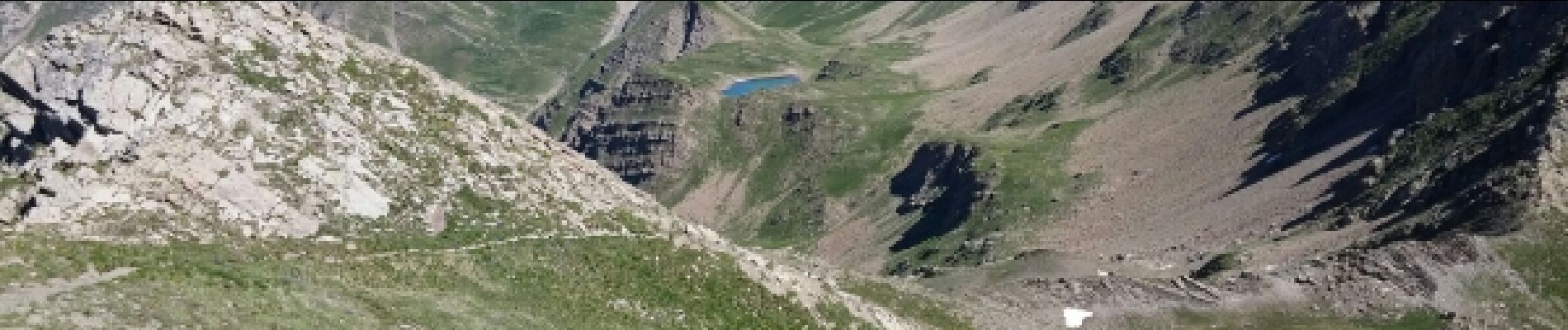
Randonnée très aérienne a partir du col de Trempa Latz.la Descente très raide au lac de l'Hivernet est particulièrement raide.


Marche

Marche

Marche

Marche

Marche

Marche

Marche

Marche

Marche