


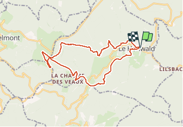


18,8 km | 26 km-effort

Utilisateur


Application GPS de randonnée GRATUITE
 SityTrail
IGN / Instituts géographiques
SityTrail World
Le monde est à vous
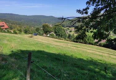
Randonnée Marche de 17 km à découvrir à Grand Est, Bas-Rhin, Le Hohwald. Cette randonnée est proposée par VacheKiri67.
Faite le 25/05/2017 avec notre fils Théo de 12 ans. D'après "Passion Vosges - Autour du Mont Sainte-Odile" N°25 : Par les sommets autour du Hohwald. Durée indiquée pour le circuit : 4h30.


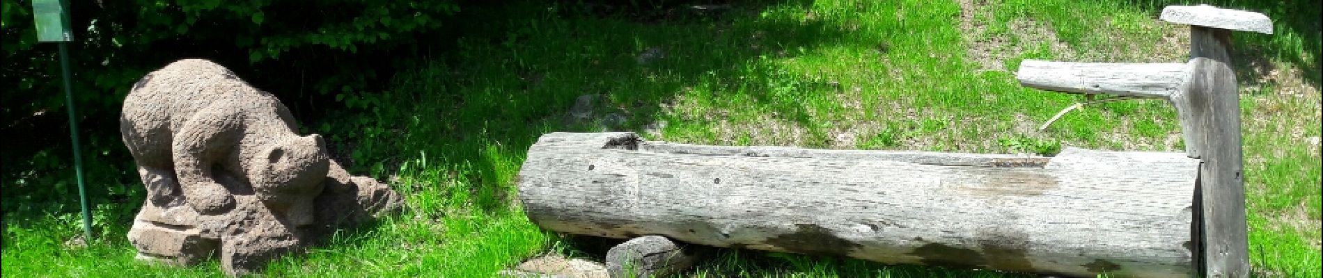
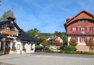
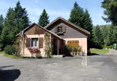
28 photos au total. Cliquez sur une photo pour les afficher toutes dans la galerie.

Randonnée équestre

Marche

Marche

Marche
Marche
Marche

A pied
Marche
Marche
Belles forêts calmes !