


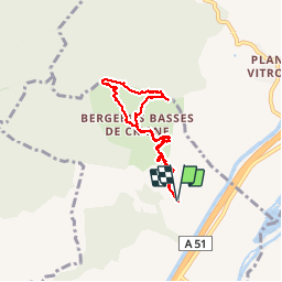

5,6 km | 13,4 km-effort

Utilisateur


Application GPS de randonnée GRATUITE
 SityTrail
IGN / Instituts géographiques
SityTrail World
Le monde est à vous
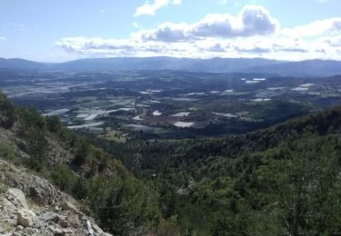
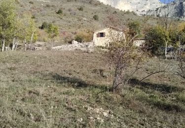
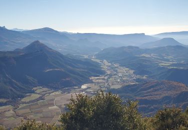
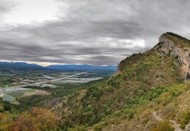
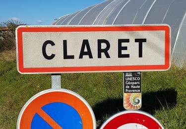
Randonnée Marche de 7 km à découvrir à Provence-Alpes-Côte d'Azur, Hautes-Alpes, Monêtier-Allemont. Cette randonnée est proposée par Dervalmarc.
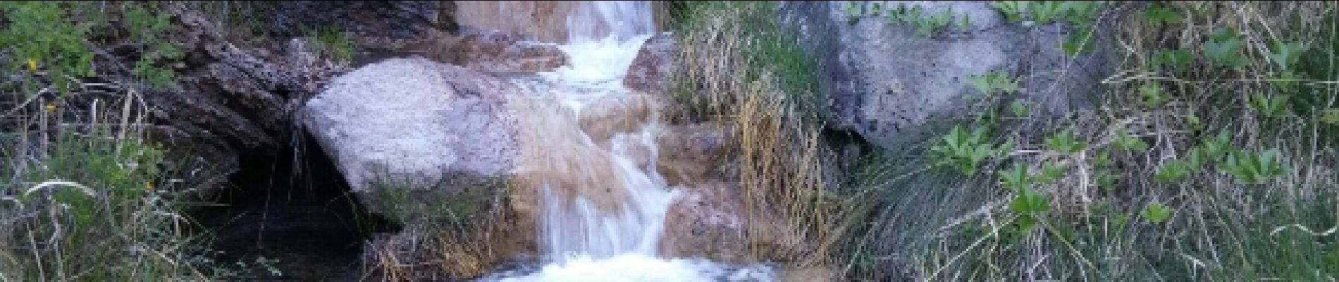
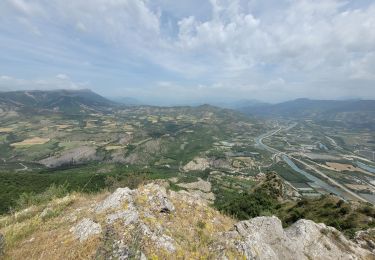
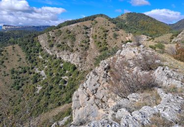
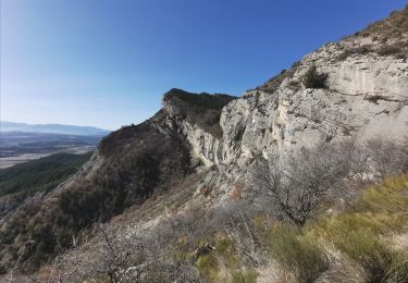
Randonnée sportive malgré un dénivelé abordable.passage delicat juste sous la cime.Vire avec une corde pour securiser ceux qui sont sujet au vertige.Problème de balisage pas tres évident à partir de la bergerie rénovée


Marche
Marche
Marche
Marche
Marche
Marche
Marche
Marche
Marche